


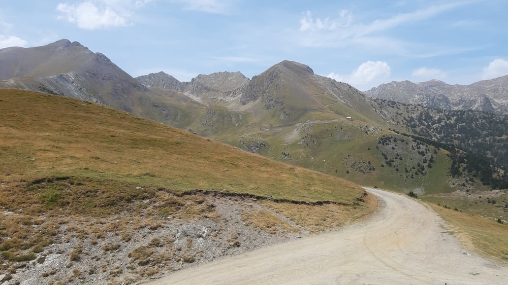
Das Nationalparkschnuppern hätten wir uns sparen können: zu Viel Shuttle-Verkehr und zu wenig Schönes. Dann das Eintauchen in die hießige Schilandschaft war auch nicht besonders reizvoll.
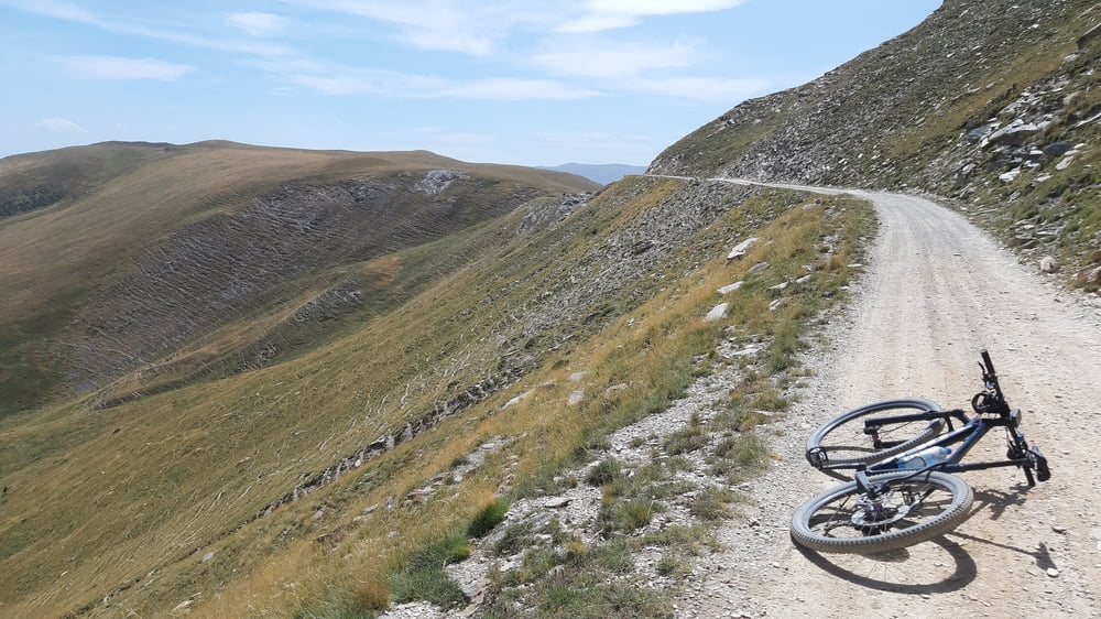
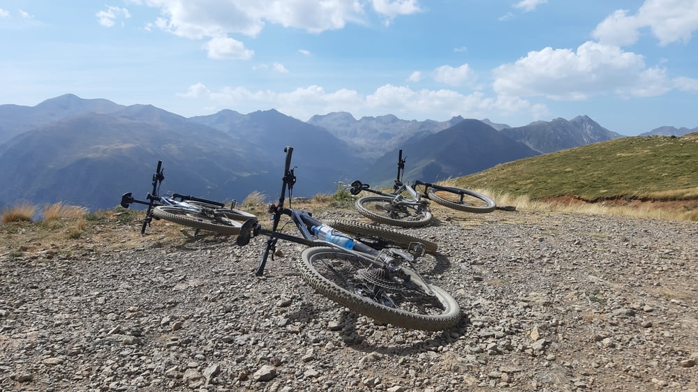
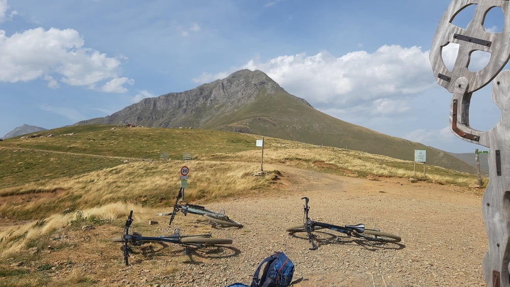
Aber dann! Ca 2,5 Stunden über 2000m in atemberaubender Landschaft unterwegs! Mit besonderen Begegnungen: Marokkanischer Schäfer, verantwortlich für 4600 Schafe und 2 Hunde. Wir unterhielten uns auf italienisch.
Dann geschätzte 100 Bartgeier(?), die uns den Weg versperrten, weil sie ein Aas (Schaf) in der Reißn hatten! Später unterhielten wir uns noch mit einem spanischen Biker, der auch schon mal die Trans-Pirinaica gemacht hat.
Zuletzt wieder lange Abfahrt auf Schotter.
Quartier: Hotel Val Vosca, schön und bequem, NF 65€.
Tour gallery
Tour map and elevation profile
Minimum height 1095 m
Maximum height 2283 m
More about the tour author
|
|
mitter |
Comments

Start in Espot.
GPS tracks
Trackpoints-
GPX / Garmin Map Source (gpx) download
-
TCX / Garmin Training Center® (tcx) download
-
CRS / Garmin Training Center® (crs) download
-
Google Earth (kml) download
-
G7ToWin (g7t) download
-
TTQV (trk) download
-
Overlay (ovl) download
-
Fugawi (txt) download
-
Kompass (DAV) Track (tk) download
-
Track data sheet (pdf) download
-
Original file of the author (gpx) download
More about the tour author
|
|
mitter |
Add to my favorites
Remove from my favorites
Edit tags
Open track
My score
Rate