


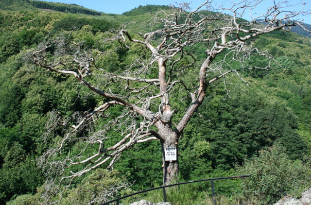
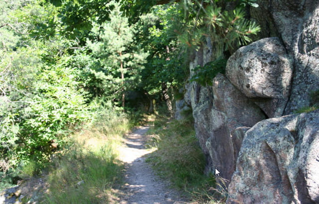
Zunächst am Fusse der Vogesen durch die Weinberge, dann hoch nach Thannkirch, über den Berg nach Ribeauville, Felsenpfade durch den Wald, Mur dit Paien (Heidenmauer), ,Hochkönigsburg und wieder zurück nach Chatenois.
Viel Trailanteil, im Juli viele Brombeerhecken (Aua).
Supertour, wenige Forststraße, viele Trails.
Verpflegung gibt es ab Ribeauville keine mehr, also Vesperbrot mitnehmen...
Die Orte nacheinander:
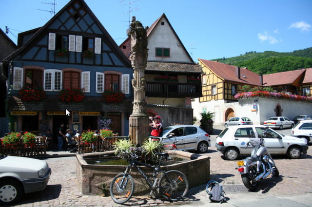
Chatenois
Kintzheim
Orschwiller
Saint Hippolyte
Rödern
Thannenkirch
Ribeauville
Hochkönigsburg
Affenberg
und wieder zurück nach Chatenois
Further information at
http://randypanguitch.wordpress.com/mtb-touren/tagestouren/tagestouren_frankreich/tt_f_vogesen_chatenois/Tour gallery
Tour map and elevation profile
Minimum height 187 m
Maximum height 949 m
More about the tour author
|
|
RandB |
Comments

Parken in Chatenois am Besten am Sportplatz.
GPS tracks
Trackpoints-
GPX / Garmin Map Source (gpx) download
-
TCX / Garmin Training Center® (tcx) download
-
CRS / Garmin Training Center® (crs) download
-
Google Earth (kml) download
-
G7ToWin (g7t) download
-
TTQV (trk) download
-
Overlay (ovl) download
-
Fugawi (txt) download
-
Kompass (DAV) Track (tk) download
-
Track data sheet (pdf) download
-
Original file of the author (gpx) download
More about the tour author
|
|
RandB |
Add to my favorites
Remove from my favorites
Edit tags
Open track
My score
Rate