


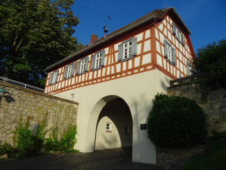
Von Hochheim am Main geht es zuerst zur Wickerer Deponie und der Stahlskulptur "Nahtstelle Müll", danach folge ich der Regional-Park-Rhein-Main Route nach Massenheim, nach einem Besuch des Schlosses in Massenheim geht es weiter nach Delkenheim und einer riesen Baustelle, mit Umwegen geht es weiter zur Domäne Mechtildshausen, nach einer Kaffee- und Kuchen-Pause wandere ich zurück zum Bahnhof in Hochheim
Further information at
https://sonntagswandern.de/von-hochheim-am-main-ueber-massenheim-zur-domaene-mechtildshausen-1-oktober-2023/Tour gallery
Tour map and elevation profile
Minimum height 90 m
Maximum height 146 m
More about the tour author

|
Sonntagswanderin |
Comments

mit der S-Bahn nach Hochheim am Main
GPS tracks
Trackpoints-
GPX / Garmin Map Source (gpx) download
-
TCX / Garmin Training Center® (tcx) download
-
CRS / Garmin Training Center® (crs) download
-
Google Earth (kml) download
-
G7ToWin (g7t) download
-
TTQV (trk) download
-
Overlay (ovl) download
-
Fugawi (txt) download
-
Kompass (DAV) Track (tk) download
-
Track data sheet (pdf) download
-
Original file of the author (gpx) download
More about the tour author
|
|
Sonntagswanderin |
Add to my favorites
Remove from my favorites
Edit tags
Open track
My score
Rate