Login

Forgot your login?

Cookies have to be accepted!
Your browser's cookie functionality is disabled. Please enable this functionality.

Not a member yet?

Register now
Login

Available for registred users only

Log in to use this feature.

Forgot your login?

Cookies have to be accepted!
Your browser's cookie functionality is disabled. Please enable this functionality.

Not a member yet?

Register now
Filter
Categories
Advanced filters
  • Distance (km)
  • Height
Save filters Reset filter

TrackRank

QRCode

Technical data

Distance30,4 km Height1121 m Way down1007 m Duration03:16 h:m Date07.10.2023
Scores Author Landscape Fun factor Fitness Technique

Statistics

292 Views Scores 1 Download Average
Rate
  • Track data sheet
  • Directions
  • Downloads
  • Rundkurs im Uhrzeigersinn.
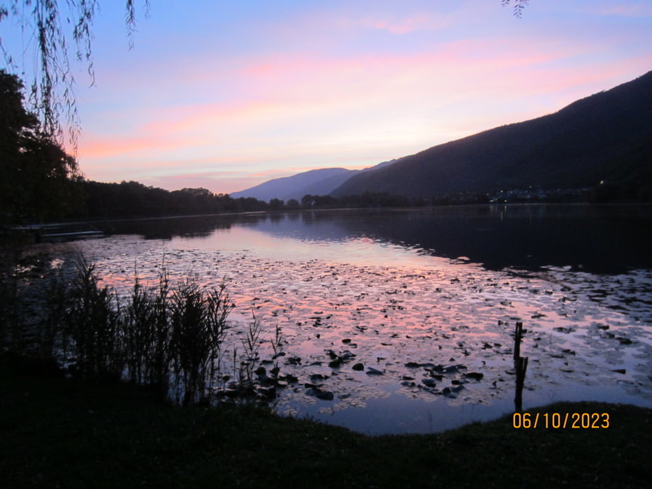
  • Start/Ziel: Lago di Revine.
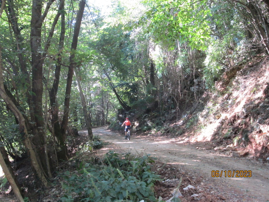
  • Aufstieg: Asfalt, Schotter, Beton durch schattigen Kastanien,- Laubwald. 9-12%. Kurze Abschnitte 15%.
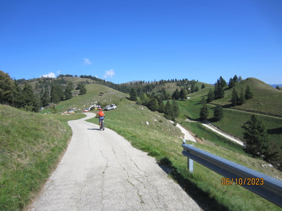
  • Abfahrt auf angenehm abfallender Teerstrasse.
  • Kein Verkehr.
  • Rifugio Alpino: ganzjährig geöffnet.
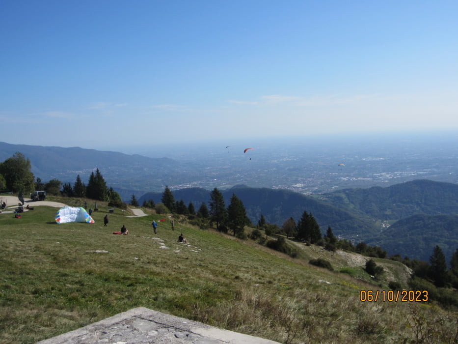
  • Vom höchsten Punkt der Tour sieht man die Adria.
  • Mit dem E-MTB gefahren.

Tour gallery

Tour map and elevation profile

  • Open Street Map
  • Google
Minimum height 113 m Maximum height 1139 m Detailed view

More about the tour author

MargesinFriedrich
Member since 2012

Send private message

Comments

GPS tracks

Trackpoints
  • GPX / Garmin Map Source (gpx) download
  • TCX / Garmin Training Center® (tcx) download
  • CRS / Garmin Training Center® (crs) download
  • Google Earth (kml) download
  • G7ToWin (g7t) download
  • TTQV (trk) download
  • Overlay (ovl) download
  • Fugawi (txt) download
  • Kompass (DAV) Track (tk) download
  • Track data sheet (pdf) download
  • Original file of the author (gpx) download

More about the tour author

MargesinFriedrich
Member since 2012

Send private message
Share track
Add to my favorites
Remove from my favorites
Edit tags
My score
Rate
Track: Lago di Revine-Rifugio Alpino "Pian delle Femene"/ Col de Saler.
Type: Mountain bike
Distance: 30,4 km
Evaluated on:
Duration:
Day(s)
Hour(s)
Minute(s)
Score: Landscape Fun factor Fitness Technique