


- Rundkurs gegen den Uhrzeigersinn.
- Start/Ziel: Marling/Meran.
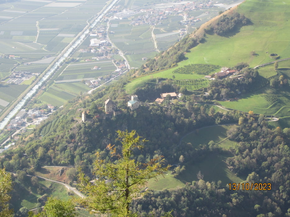
- Einradeln auf der Marlinger Panoramastrasse bis Algund. Weiter auf dem Radweg bis Naturns.
- Der Aufstieg am Naturnser Sonnenberg ist vollständig der Sonne ausgesetzt.
- Auf Asfalt 12-15% bis zum Gasthof Patleid KM 23,8 - MH 1.390. Gasthof Lint KM 24,4 - MH 1.460.
- Ab KM 24,8 - MH 1.510 Schotter/Asfalt. Rampen 18% bis KM 28 - MH 1.700 Gasthof Dickhof.
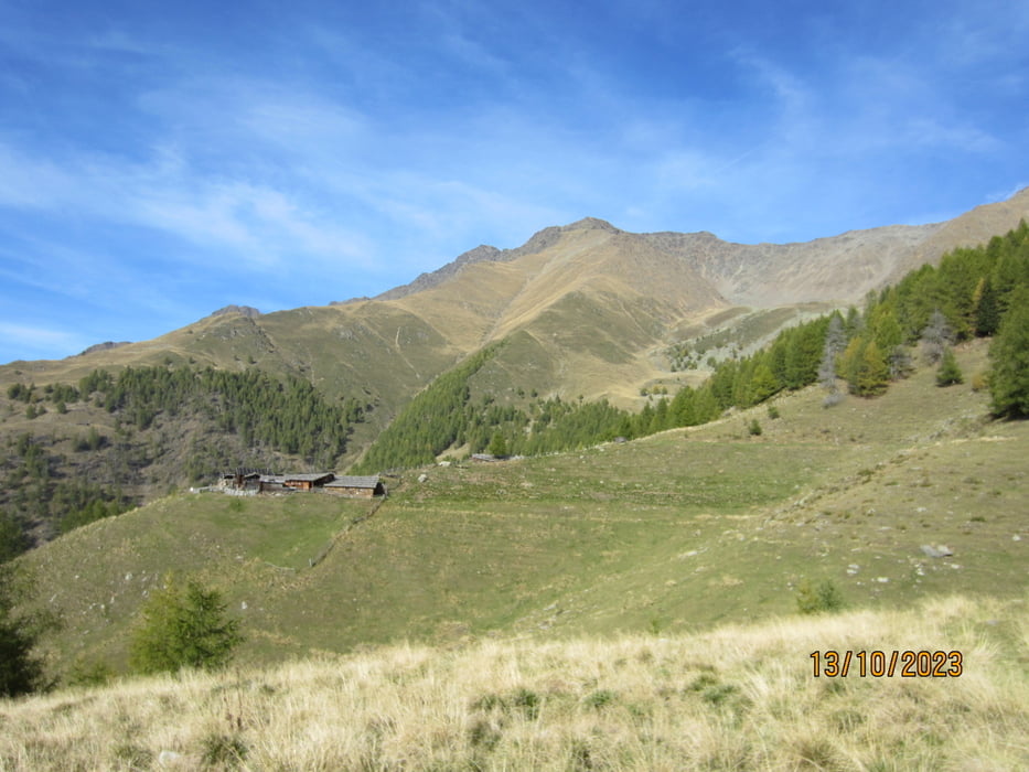
- Weiter auf kompaktem Waldweg 10-18% bis KM 31,6 - MH 2.060.
- Weiter auf schmalem Steig(schieben fahren/S2) bis zur Mair Alm KM 31,9 - MH 2.095.
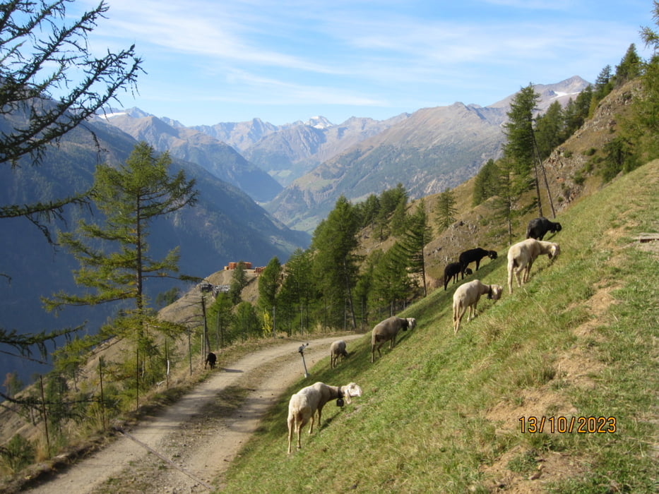
- Abfahrt auf teils grobem Schotter bis KM 36,8 - MH 1.700.
- Auf angenehm abfallender Asfalt-Strasse bis Katharinaberg(Bar) KM 41 - MH 1.240.
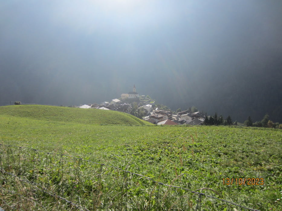
- Abfahrt nach Naturns KM 51,1 - MH 553 auf der Provinzstrasse. Radbeleuchtung für Galerien nicht vergessen!!!!
- Weiter auf dem Vinschgauradweg bis Algund, bzw. Panoramastrasse nach Marling(Ziel).
- Bin die Tour mit dem E-MTB gefahren.
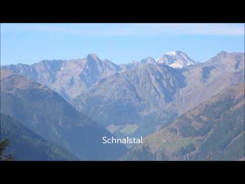
Tour gallery
Tour map and elevation profile
Minimum height 274 m
Maximum height 2111 m
More about the tour author
|
|
MargesinFriedrich |
Comments

GPS tracks
Trackpoints-
GPX / Garmin Map Source (gpx) download
-
TCX / Garmin Training Center® (tcx) download
-
CRS / Garmin Training Center® (crs) download
-
Google Earth (kml) download
-
G7ToWin (g7t) download
-
TTQV (trk) download
-
Overlay (ovl) download
-
Fugawi (txt) download
-
Kompass (DAV) Track (tk) download
-
Track data sheet (pdf) download
-
Original file of the author (gpx) download
More about the tour author
|
|
MargesinFriedrich |
Add to my favorites
Remove from my favorites
Edit tags
Open track
My score
Rate