Login

Forgot your login?

Cookies have to be accepted!
Your browser's cookie functionality is disabled. Please enable this functionality.

Not a member yet?

Register now
Login

Available for registred users only

Log in to use this feature.

Forgot your login?

Cookies have to be accepted!
Your browser's cookie functionality is disabled. Please enable this functionality.

Not a member yet?

Register now
Filter
Categories
Advanced filters
  • Distance (km)
  • Height
Save filters Reset filter

TrackRank

QRCode

Technical data

Distance47,0 km Height219 m Way down176 m Duration03:00 h:m Date10.08.2023
Scores Author Landscape Fun factor Fitness Technique

Statistics

119 Views Scores 0 Downloads Average
Rate
  • Track data sheet
  • Directions
  • Downloads
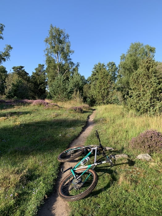
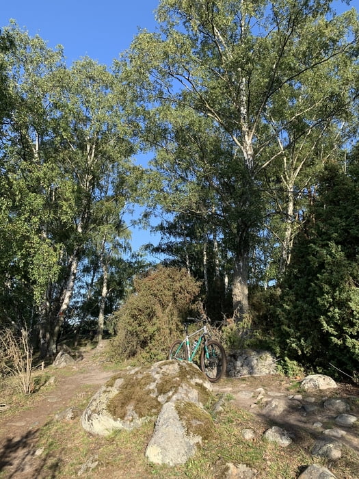
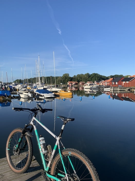
Von Linsdal gings an der Küste Richtung Kalmar und dort zu den ausgeschilderten Trails der Hansa Banan. Spaß pur mit viel Blick über die Schären

Further information at

https://vindskyddskartan.se/en

Tour gallery

Tour map and elevation profile

  • Open Street Map
  • Google
Minimum height -29 m Maximum height 20 m Detailed view

More about the tour author

hegi
Member since 2007

Send private message

Comments

Parken kann man in Linsdal

GPS tracks

Trackpoints
  • GPX / Garmin Map Source (gpx) download
  • TCX / Garmin Training Center® (tcx) download
  • CRS / Garmin Training Center® (crs) download
  • Google Earth (kml) download
  • G7ToWin (g7t) download
  • TTQV (trk) download
  • Overlay (ovl) download
  • Fugawi (txt) download
  • Kompass (DAV) Track (tk) download
  • Track data sheet (pdf) download
  • Original file of the author (gpx) download

More about the tour author

hegi
Member since 2007

Send private message
Share track
Add to my favorites
Remove from my favorites
Edit tags
My score
Rate
Track: Fun in den Kalmar Schären und dem Hansa Banan
Type: Mountain bike
Distance: 47,0 km
Evaluated on:
Duration:
Day(s)
Hour(s)
Minute(s)
Score: Landscape Fun factor Fitness Technique