Login

Forgot your login?

Cookies have to be accepted!
Your browser's cookie functionality is disabled. Please enable this functionality.

Not a member yet?

Register now
Login

Available for registred users only

Log in to use this feature.

Forgot your login?

Cookies have to be accepted!
Your browser's cookie functionality is disabled. Please enable this functionality.

Not a member yet?

Register now
Filter
Categories
Advanced filters
  • Distance (km)
  • Height
Save filters Reset filter

TrackRank

QRCode

Technical data

Distance43,0 km Height1466 m Way down1363 m Duration04:13 h:m Date30.10.2023
Scores Author Landscape Fun factor Fitness Technique

Statistics

351 Views Scores 0 Downloads Average
Rate
  • Track data sheet
  • Directions
  • Downloads
Von Lanersbach geht es erst der Bundesstrasse entlang flach bergauf nach Hintertux. Nun beginnt ein 900hm Anstieg durch wunderschöne Landschaft. Die letzten 350hm haben im Schnitt 14% Steigung. Am Tuxerjoch gibt es gute Stärkungsmöglichkeiten damit man wieder Kräfte sammelt für die wunderschöne aber auch herausfordernde Singletrail Abgfahrt ins traumhaft schöne Schmirntal. Nach erholsamer Rolleretappe heiss es nun wieder in die Pedale treten um hinauf auf Höhe der Brennerautobahn nach Obernberg am Brenner zu radeln. 
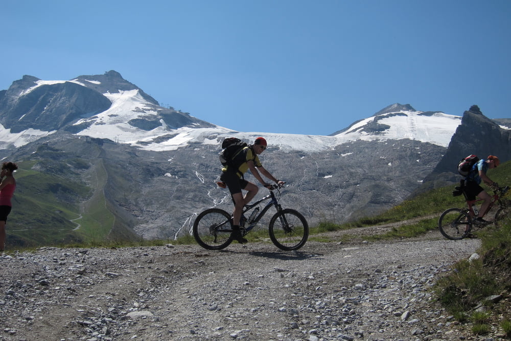
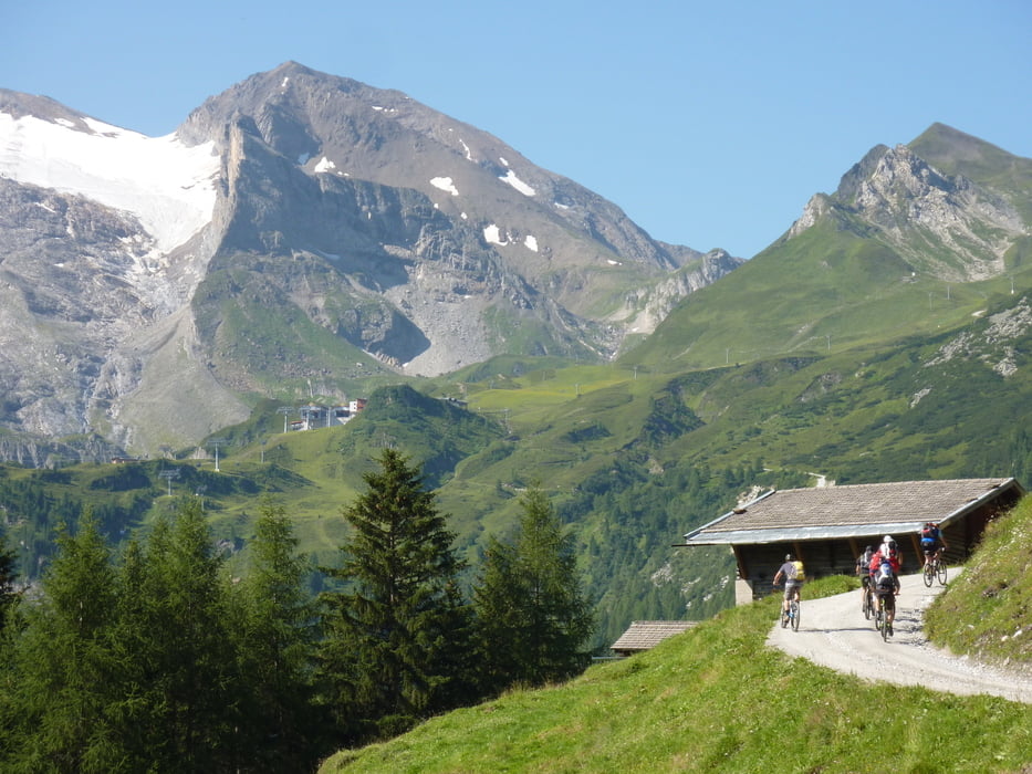
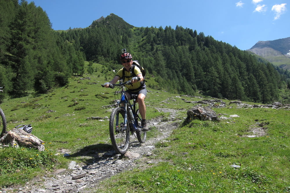
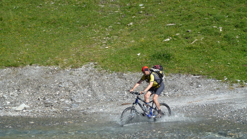
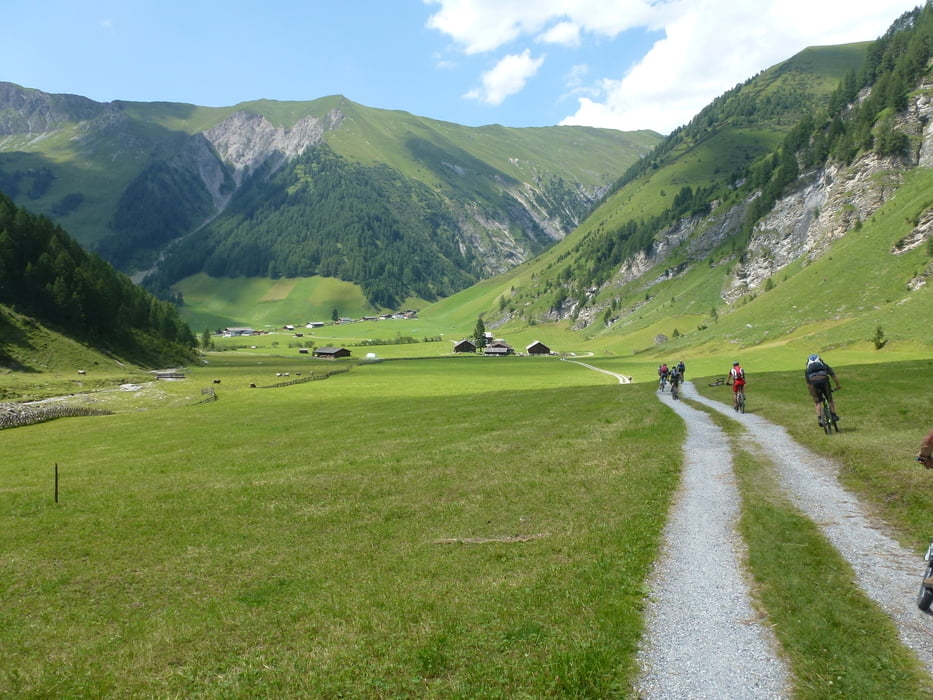
Tour gallery

Tour map and elevation profile

  • Open Street Map
  • Google
Minimum height 1129 m Maximum height 2360 m Detailed view

More about the tour author

ETTMAYER
Member since 2007

Send private message

Comments

Tour 181834. Kolsass-Geiseljoch -Lanersbach

GPS tracks

Trackpoints
  • GPX / Garmin Map Source (gpx) download
  • TCX / Garmin Training Center® (tcx) download
  • CRS / Garmin Training Center® (crs) download
  • Google Earth (kml) download
  • G7ToWin (g7t) download
  • TTQV (trk) download
  • Overlay (ovl) download
  • Fugawi (txt) download
  • Kompass (DAV) Track (tk) download
  • Track data sheet (pdf) download
  • Original file of the author (gpx) download

More about the tour author

ETTMAYER
Member since 2007

Send private message
Share track
Add to my favorites
Remove from my favorites
Edit tags
My score
Rate
Track: Lanersbach -Tuxer Joch - Obernberg
Type: Transalp
Distance: 43,0 km
Evaluated on:
Duration:
Day(s)
Hour(s)
Minute(s)
Score: Landscape Fun factor Fitness Technique