
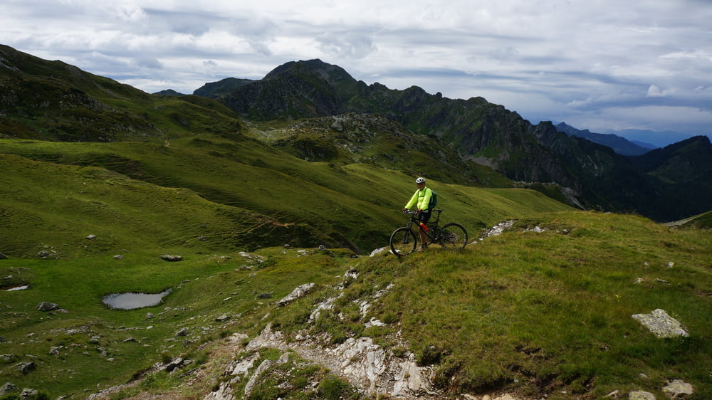

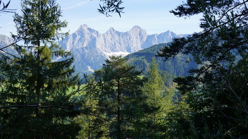
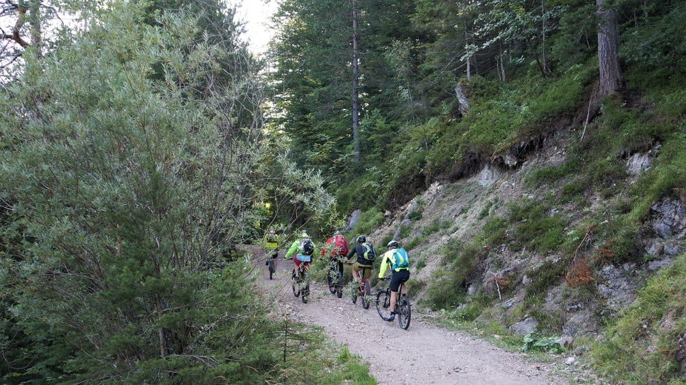
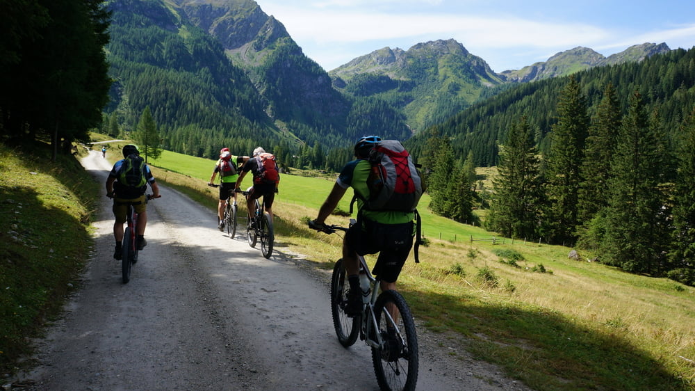
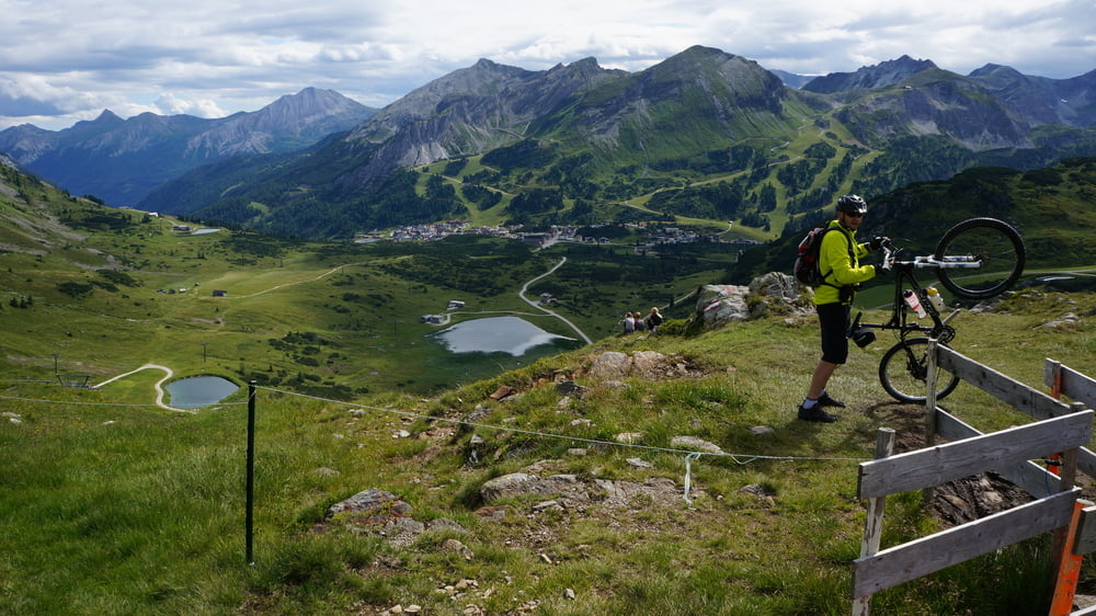
Der Stoneman Taurista hat es in sich – technisch und v. a. konditionell! (23 km und 4.500 Höhenmeter) - wir wählten die drei Tage Variante (Bronze). Der fahrtechnische Anspruch reicht überwiegend von S0 bis S2 mit wenigen S3- und zwei längeren Trage- und Schiebepassagen. Die Auffahrt über die Vögeialm ist landschaftlich sehr schön und gut zu fahren. Ab der Alm gehts steil (13.7%) bergauf bis zum Oberhüttensee mit der gleichnamigen Hütte. Die folgende 214 hm über den Zentralalpenweg 2 sind mehr zum schieben & tragen als zum Fahren. Dafür wird man mit einer traumhaft schönen Singeltrail Abfahrt nach Obertauern belohnt! Wir nächtigten im neu eröffnetne DAV Haus (sehr zu empfehlen).
Tour gallery
Tour map and elevation profile
Minimum height 870 m
Maximum height 2133 m

Comments

GPS tracks
Trackpoints-
GPX / Garmin Map Source (gpx) download
-
TCX / Garmin Training Center® (tcx) download
-
CRS / Garmin Training Center® (crs) download
-
Google Earth (kml) download
-
G7ToWin (g7t) download
-
TTQV (trk) download
-
Overlay (ovl) download
-
Fugawi (txt) download
-
Kompass (DAV) Track (tk) download
-
Track data sheet (pdf) download
-
Original file of the author (gpx) download
Add to my favorites
Remove from my favorites
Edit tags
Open track
My score
Rate