Login

Forgot your login?

Cookies have to be accepted!
Your browser's cookie functionality is disabled. Please enable this functionality.

Not a member yet?

Register now
Login

Available for registred users only

Log in to use this feature.

Forgot your login?

Cookies have to be accepted!
Your browser's cookie functionality is disabled. Please enable this functionality.

Not a member yet?

Register now
Filter
Categories
Advanced filters
  • Distance (km)
  • Height
Save filters Reset filter

TrackRank

QRCode

Technical data

Distance55,0 km Height1823 m Way down1813 m Duration03:41 h:m Date28.11.2023
Scores Author Landscape Fun factor Fitness Technique

Statistics

207 Views Scores 0 Downloads Average
Rate
  • Track data sheet
  • Directions
  • Downloads
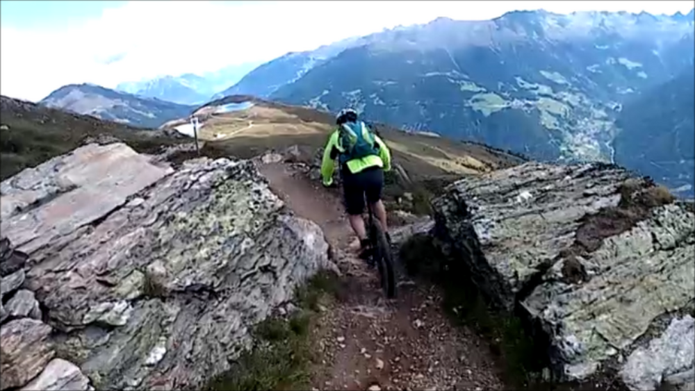
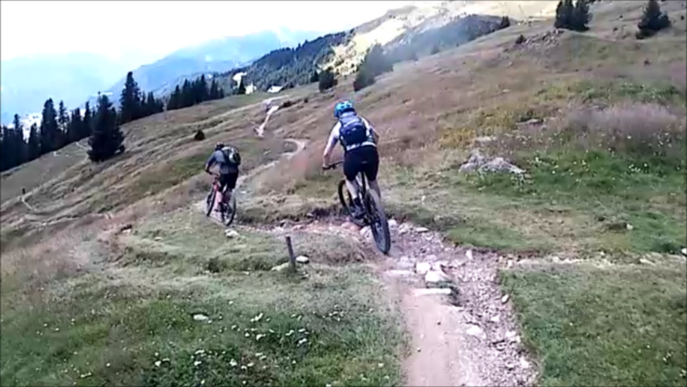
Die steile und anstrendende Auffahrt nach Serfaus wird durch den Frommes Trail mehr als wettgemacht. Der Trail ist im oberen Teil einfach und gut fahrbar (S0-S1) und wird erst im unteren Teil ein bisschen anspruchsvoller. Alles in allem sehr lohnend!
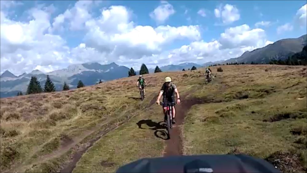
Tour gallery

Tour map and elevation profile

  • Open Street Map
  • Google
Minimum height 852 m Maximum height 2463 m Detailed view

More about the tour author

ETTMAYER
Member since 2007

Send private message

Comments

GPS tracks

Trackpoints
  • GPX / Garmin Map Source (gpx) download
  • TCX / Garmin Training Center® (tcx) download
  • CRS / Garmin Training Center® (crs) download
  • Google Earth (kml) download
  • G7ToWin (g7t) download
  • TTQV (trk) download
  • Overlay (ovl) download
  • Fugawi (txt) download
  • Kompass (DAV) Track (tk) download
  • Track data sheet (pdf) download
  • Original file of the author (gpx) download

More about the tour author

ETTMAYER
Member since 2007

Send private message
Share track
Add to my favorites
Remove from my favorites
Edit tags
My score
Rate
Track: Bikeschaukel Tirol: Pfunds - Landeck
Type: Mountain bike
Distance: 55,0 km
Evaluated on:
Duration:
Day(s)
Hour(s)
Minute(s)
Score: Landscape Fun factor Fitness Technique