


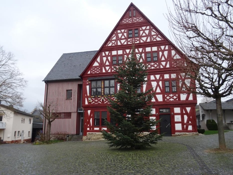
Vom Alten Sportplatz in Niederselters durch den Ort und dann den Berg hinauf in Richtung Dauborn. An Dauborn vorbei durch den Wald zu Kloster Gnadenthal. Nach einem kurzen Besuch im Klosterladen geht es wieder zurück nach Niederselters
Further information at
https://sonntagswandern.de/von-selters-ts-zum-kloster-gnadenthal-und-zurueck-14-januar-2024/Tour gallery
Tour map and elevation profile
Minimum height 133 m
Maximum height 264 m
More about the tour author

|
Sonntagswanderin |
Comments

mit der Bahn zum Bahnhof in Niederselters und dann 400 Meter zu Fuß zum Alten Sportplatz, oder über die B8 nach Niederselters und am Alten Sportplatz parken
GPS tracks
Trackpoints-
GPX / Garmin Map Source (gpx) download
-
TCX / Garmin Training Center® (tcx) download
-
CRS / Garmin Training Center® (crs) download
-
Google Earth (kml) download
-
G7ToWin (g7t) download
-
TTQV (trk) download
-
Overlay (ovl) download
-
Fugawi (txt) download
-
Kompass (DAV) Track (tk) download
-
Track data sheet (pdf) download
-
Original file of the author (gpx) download
More about the tour author
|
|
Sonntagswanderin |
Add to my favorites
Remove from my favorites
Edit tags
Open track
My score
Rate