


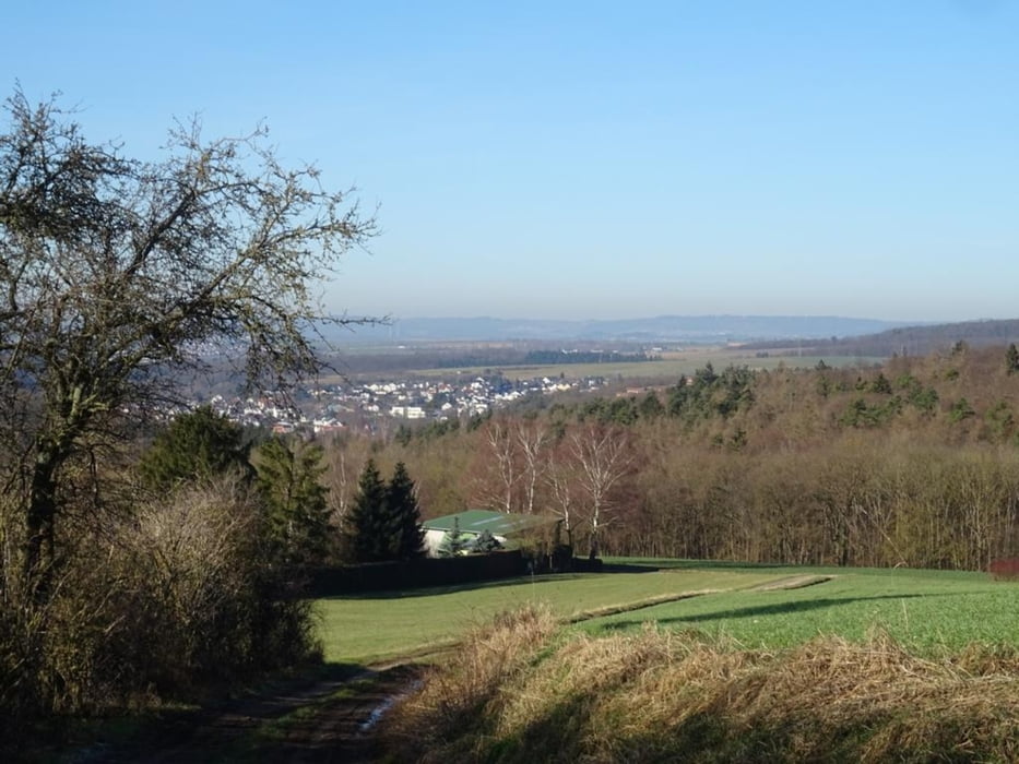
Von Niederselters' Alter Sportplatz dem Radweg folgend geht es den Berg hinauf. Man bleibt auf der Höhe bis Erbach um dann ins Tal und durch Erbach zu laufen. Auf der anderen Seite geht es durch den Ort wieder den Berg hinauf. Wieder bleibt man auf der Höhe bis Oberselters. Dann folgt man der Brunnenstraße am Brunnenmuseum vorbei zurück zum Alten Sportplatz in Niederselters.
Further information at
https://sonntagswandern.de/von-niederselters-nach-erbach-und-zurueck-28-januar-2024/Tour gallery
Tour map and elevation profile
Minimum height 179 m
Maximum height 305 m
More about the tour author

|
Sonntagswanderin |
Comments

mit der Bahn nach Niederselters und ein paar hundert Meter zum Alten Sportplatz, oder über die B8 nach Niederselters und dann zum Parkplatz am Alten Sportplatz
GPS tracks
Trackpoints-
GPX / Garmin Map Source (gpx) download
-
TCX / Garmin Training Center® (tcx) download
-
CRS / Garmin Training Center® (crs) download
-
Google Earth (kml) download
-
G7ToWin (g7t) download
-
TTQV (trk) download
-
Overlay (ovl) download
-
Fugawi (txt) download
-
Kompass (DAV) Track (tk) download
-
Track data sheet (pdf) download
-
Original file of the author (gpx) download
More about the tour author
|
|
Sonntagswanderin |
Add to my favorites
Remove from my favorites
Edit tags
Open track
My score
Rate