Login

Forgot your login?

Cookies have to be accepted!
Your browser's cookie functionality is disabled. Please enable this functionality.

Not a member yet?

Register now
Login

Available for registred users only

Log in to use this feature.

Forgot your login?

Cookies have to be accepted!
Your browser's cookie functionality is disabled. Please enable this functionality.

Not a member yet?

Register now
Filter
Categories
Advanced filters
  • Distance (km)
  • Height
Save filters Reset filter

TrackRank

QRCode

Technical data

Distance25,3 km Height779 m Way down746 m Duration00:00 h:m Date06.07.2008
Scores Author Landscape Fun factor Fitness Technique

Statistics

969 Views Scores 251 Downloads Average
Rate
  • Track data sheet
  • Directions
  • Downloads

Tour 2 vom Kompass MTB Führer 1974.

Der Startpunkt wurde nach Platt vorverlegt. Von Platt bis Pfelders auf Teerstrasse, dann Forstweg. 
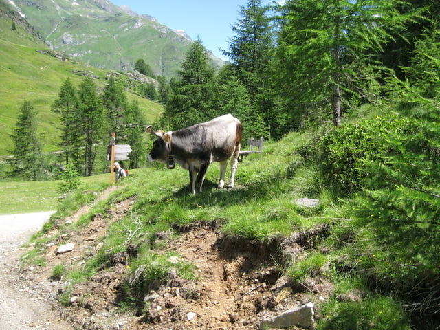
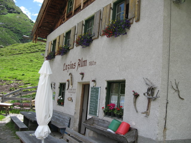
Tour gallery

Tour map and elevation profile

  • Open Street Map
  • Google
Minimum height 1123 m Maximum height 1857 m Detailed view

More about the tour author

Simplon_Lexx
Member since 2008

Send private message

Comments

Startpunkt in Platt.

Familien können auch in Bergkristall starten.

GPS tracks

Trackpoints
  • GPX / Garmin Map Source (gpx) download
  • TCX / Garmin Training Center® (tcx) download
  • CRS / Garmin Training Center® (crs) download
  • Google Earth (kml) download
  • G7ToWin (g7t) download
  • TTQV (trk) download
  • Overlay (ovl) download
  • Fugawi (txt) download
  • Kompass (DAV) Track (tk) download
  • Track data sheet (pdf) download
  • Original file of the author (gpx) download

More about the tour author

Simplon_Lexx
Member since 2008

Send private message
Share track
Add to my favorites
Remove from my favorites
Edit tags
My score
Rate
Track: Lazins Alm
Type: Mountain bike
Distance: 25,3 km
Evaluated on:
Duration:
Day(s)
Hour(s)
Minute(s)
Score: Landscape Fun factor Fitness Technique