Login

Forgot your login?

Cookies have to be accepted!
Your browser's cookie functionality is disabled. Please enable this functionality.

Not a member yet?

Register now
Login

Available for registred users only

Log in to use this feature.

Forgot your login?

Cookies have to be accepted!
Your browser's cookie functionality is disabled. Please enable this functionality.

Not a member yet?

Register now
Filter
Categories
Advanced filters
  • Distance (km)
  • Height
Save filters Reset filter

TrackRank

QRCode

Technical data

Distance62,3 km Height609 m Way down601 m Duration02:30 h:m Date31.03.2024
Scores Author Landscape Fun factor Fitness Technique

Statistics

203 Views Scores 0 Downloads Average
Rate
  • Track data sheet
  • Directions
  • Downloads

Schöner 60er mit zwei steilen Rampen vor Kohlberg und zwei schnellen Abfahrten vor Kohlberg und durch Trippach.

Statt der breiten Staatsstraße bei Kellerhaus kann auch eine Variante über Rupprechtsreuth (klar beschildert) und Neunkirchen genommen werden.
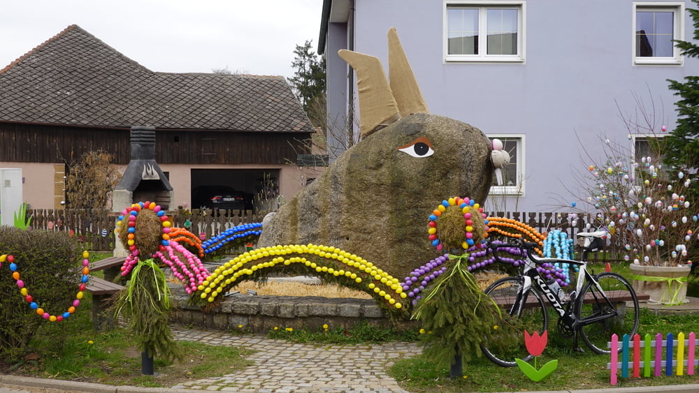
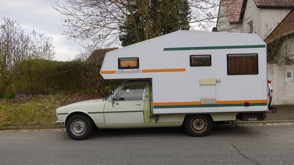
Tour gallery

Tour map and elevation profile

  • Open Street Map
  • Google
Minimum height 386 m Maximum height 536 m Detailed view

More about the tour author

schmidt-nehls
Member since 2013

Send private message

Comments

GPS tracks

Trackpoints
  • GPX / Garmin Map Source (gpx) download
  • TCX / Garmin Training Center® (tcx) download
  • CRS / Garmin Training Center® (crs) download
  • Google Earth (kml) download
  • G7ToWin (g7t) download
  • TTQV (trk) download
  • Overlay (ovl) download
  • Fugawi (txt) download
  • Kompass (DAV) Track (tk) download
  • Track data sheet (pdf) download
  • Original file of the author (gpx) download

More about the tour author

schmidt-nehls
Member since 2013

Send private message
Share track
Add to my favorites
Remove from my favorites
Edit tags
My score
Rate
Track: "Zum Hirschen", Weiherhammer - Hirschau - südl. Grafenwöhr
Type: Road biking
Distance: 62,3 km
Evaluated on:
Duration:
Day(s)
Hour(s)
Minute(s)
Score: Landscape Fun factor Fitness Technique