Login

Forgot your login?

Cookies have to be accepted!
Your browser's cookie functionality is disabled. Please enable this functionality.

Not a member yet?

Register now
Login

Available for registred users only

Log in to use this feature.

Forgot your login?

Cookies have to be accepted!
Your browser's cookie functionality is disabled. Please enable this functionality.

Not a member yet?

Register now
Filter
Categories
Advanced filters
  • Distance (km)
  • Height
Save filters Reset filter

TrackRank

QRCode

Technical data

Distance6,6 km Height371 m Way down313 m Duration02:45 h:m Date07.02.2024
Scores Author Landscape Fun factor Fitness Technique

Statistics

55 Views Scores 0 Downloads Average
Rate
  • Track data sheet
  • Directions
  • Downloads

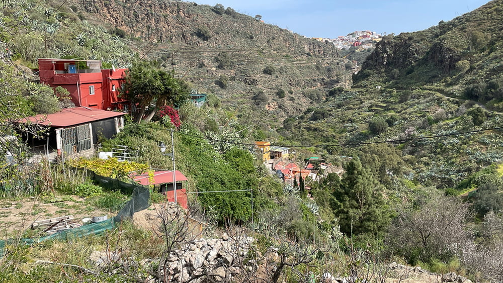
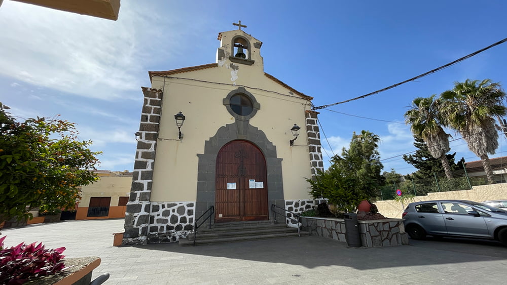
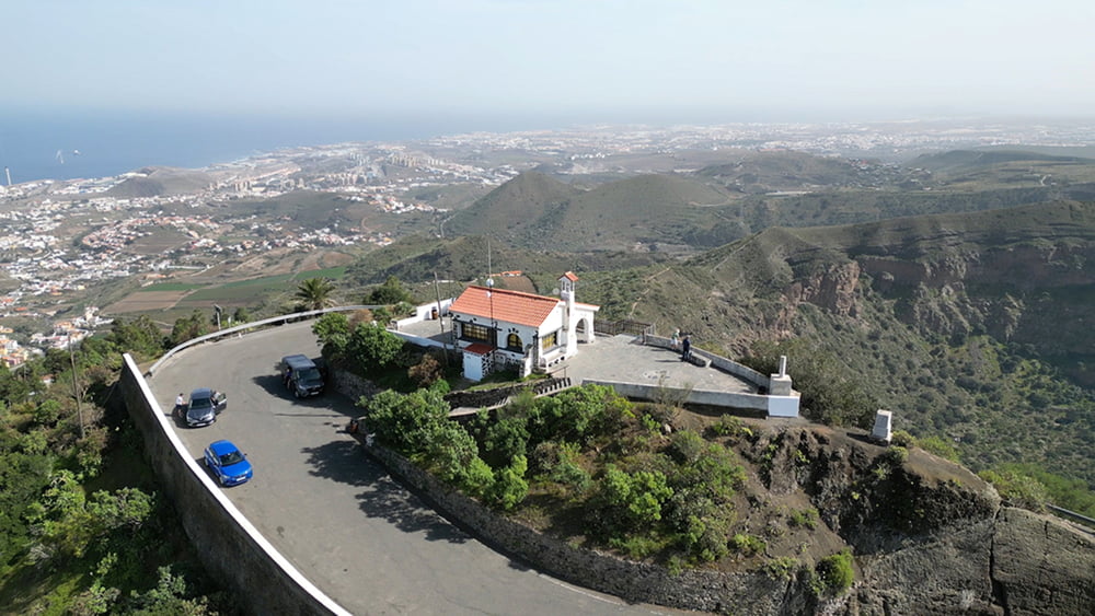
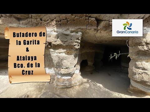
Unsere Wanderung führt uns zunächst durch den Ort zur Bco. Kannte De la Cruz. Von hier stellt sich ein schöner Blick auf den Ort ein. Ein schmaler Serpentinenpfad bringt uns dann zum Bco.-Grund. Vorbei an versprengten Häuser steht nun ein Aufstieg aus dem Bco. vor uns. Über eine Asphaltstraße kommen wir an zwei Aussichtspunkte vorbei, bevor es wieder abwärts in den Ort Atalaya geht.

Tour gallery

Tour map and elevation profile

  • Open Street Map
  • Google
Minimum height 431 m Maximum height 756 m Detailed view

More about the tour author

schleidy
Member since 2013

Send private message

Comments

GPS tracks

Trackpoints
  • GPX / Garmin Map Source (gpx) download
  • TCX / Garmin Training Center® (tcx) download
  • CRS / Garmin Training Center® (crs) download
  • Google Earth (kml) download
  • G7ToWin (g7t) download
  • TTQV (trk) download
  • Overlay (ovl) download
  • Fugawi (txt) download
  • Kompass (DAV) Track (tk) download
  • Track data sheet (pdf) download
  • Original file of the author (gpx) download

More about the tour author

schleidy
Member since 2013

Send private message
Share track
Add to my favorites
Remove from my favorites
Edit tags
My score
Rate
Track: Gran Canaria: Bufadero de La Gerita & Atalaya - Bco. de la Cruz
Type: Hiking
Distance: 6,6 km
Evaluated on:
Duration:
Day(s)
Hour(s)
Minute(s)
Score: Landscape Fun factor Fitness Technique