Login

Forgot your login?

Cookies have to be accepted!
Your browser's cookie functionality is disabled. Please enable this functionality.

Not a member yet?

Register now
Login

Available for registred users only

Log in to use this feature.

Forgot your login?

Cookies have to be accepted!
Your browser's cookie functionality is disabled. Please enable this functionality.

Not a member yet?

Register now
Filter
Categories
Advanced filters
  • Distance (km)
  • Height
Save filters Reset filter

TrackRank

QRCode

Technical data

Distance228,4 km Height2210 m Way down2041 m Duration00:00 h:m Date08.07.2008
Scores Author User Landscape Fun factor Fitness Technique

Statistics

2012 Views 1 Score 591 Downloads 3.00 Average
Rate
  • Track data sheet
  • Directions
  • Downloads
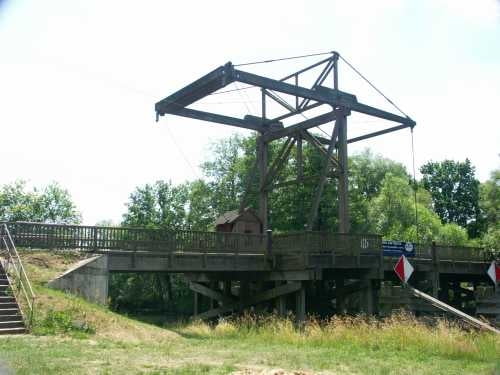
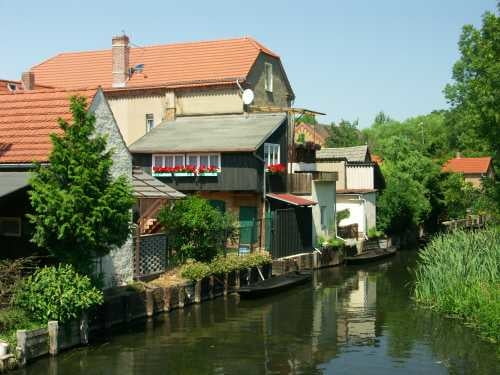
Wir sind den Spreeradweg von Beskow nach Bautzen gefahren. Dabei durchquerten wir auch den Spreewald. Der Radweg überzeugt durch seine sehr gute Ausschilderung und durch den Top Zustand der Wege.

Further information at

http://www.arur.de/ferneseher/

Tour gallery

Tour map and elevation profile

  • Open Street Map
  • Google
Minimum height -6 m Maximum height 254 m Detailed view

More about the tour author

mikestichel
Member since 2005

Send private message

Comments

GPS tracks

Trackpoints
  • GPX / Garmin Map Source (gpx) download
  • TCX / Garmin Training Center® (tcx) download
  • CRS / Garmin Training Center® (crs) download
  • Google Earth (kml) download
  • G7ToWin (g7t) download
  • TTQV (trk) download
  • Overlay (ovl) download
  • Fugawi (txt) download
  • Kompass (DAV) Track (tk) download
  • Track data sheet (pdf) download
  • Original file of the author (gpx) download

More about the tour author

mikestichel
Member since 2005

Send private message
Share track
Add to my favorites
Remove from my favorites
Edit tags
My score
Rate
Track: Spreeradweg
Type: Bicycle tours
Distance: 228,4 km
Evaluated on:
Duration:
Day(s)
Hour(s)
Minute(s)
Score: Landscape Fun factor Fitness Technique