


Diese Tour ist eine Flüssetour, mit Ausnahme des Übergangs von der Eder(Orke) zur Ruhr über den Winterberg.
ACHTUNG:
DAS UNTERE ORKETAL IST TEILS EINE GELÄNDETOUR UND SOLLTE MIT NORMALEN RÄDERN UMFAHREN WERDEN (auch als Biketour umständlich)
Folgende Fahrempfehlung: Von Niederorke über die L3084 nach Sachsenberg und dann über die L3076 nach Dalwigksthal.
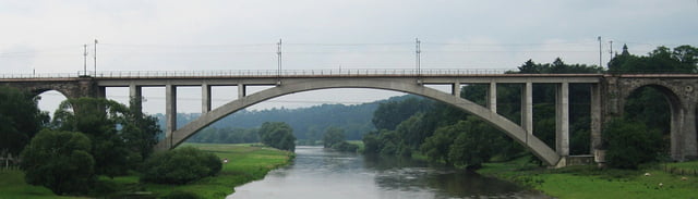
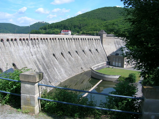
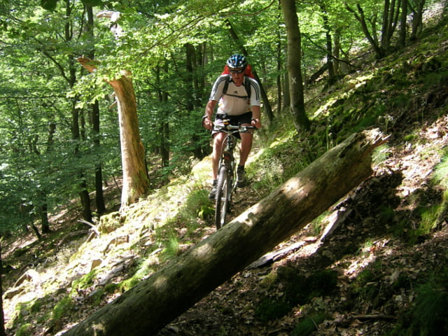
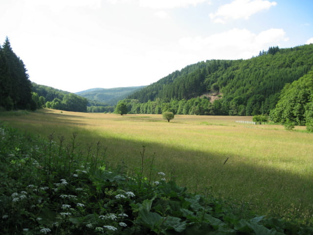
Tour gallery
Tour map and elevation profile
Minimum height 119 m
Maximum height 662 m
More about the tour author

|
Lappes |
Comments

Autobahn A4 Abfahrt Eisenach. Hörschel ist auch der Start des Rennsteiges und hat Eisenbahnanschluß
GPS tracks
Trackpoints-
GPX / Garmin Map Source (gpx) download
-
TCX / Garmin Training Center® (tcx) download
-
CRS / Garmin Training Center® (crs) download
-
Google Earth (kml) download
-
G7ToWin (g7t) download
-
TTQV (trk) download
-
Overlay (ovl) download
-
Fugawi (txt) download
-
Kompass (DAV) Track (tk) download
-
Track data sheet (pdf) download
-
Original file of the author (gpx) download
More about the tour author
|
|
Lappes |
Add to my favorites
Remove from my favorites
Edit tags
Open track
My score
Rate