


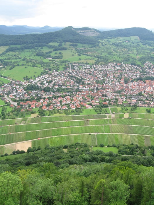
Tour auf der Schwäbischen Alb, weitgehend immer an der Kante entlang. Immer wieder schöne Aussichten. Mindestens 35% Single Trial Anteil - wenn es, wie bei uns, geregnet hat, ziemlich glitschig aber machbar.
Für die Liste der Sehenswürdigkeiten und Bergnamen muss ich noch mal meine Schwäbischen Kumpels fragen.
Further information at
http://www.schwabenbraeu.de/lexikon/index.phpTour gallery


Tour map and elevation profile
Minimum height 361 m
Maximum height 825 m
More about the tour author

|
helbing |
Comments

Start und Ziel sind am Stadtrand von Reutlingen
GPS tracks
Trackpoints-
GPX / Garmin Map Source (gpx) download
-
TCX / Garmin Training Center® (tcx) download
-
CRS / Garmin Training Center® (crs) download
-
Google Earth (kml) download
-
G7ToWin (g7t) download
-
TTQV (trk) download
-
Overlay (ovl) download
-
Fugawi (txt) download
-
Kompass (DAV) Track (tk) download
-
Track data sheet (pdf) download
-
Original file of the author (gpx) download
More about the tour author
|
|
helbing |
Add to my favorites
Remove from my favorites
Edit tags
Open track
My score
Rate