


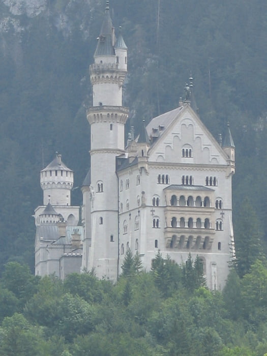
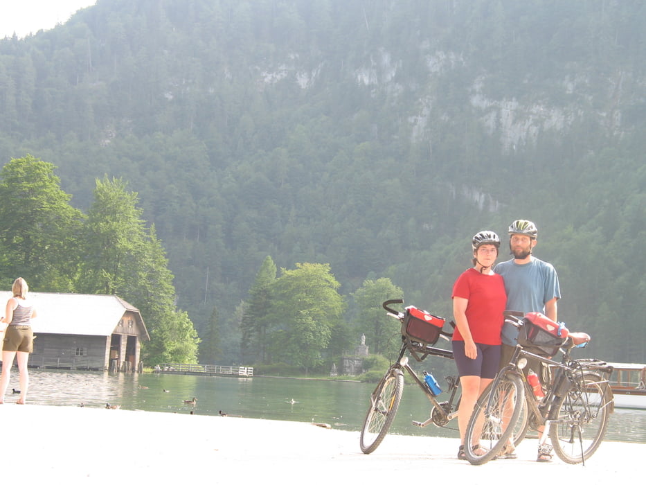
von Lindau (Bodensee) zum Königssee
gut zu fahrende Verlängerung:
von Basel den Rhein entlang über Waldshut - Schaffhausen - Radolfzell - Überlinger See - Nordufer Bodensee - Lindau-Königssee
1. Etappe
Basel - Hohentengen
85 km, wenige Höhenmeter
2. Etappe
Hohentengen - Bodmann
86 km, 383 Höhenmeter
3. Etappe
Bodmann- Kressbronn
69 km, 183 Hm
4. Etappe
Kressbronn -Oberstaufen/Allgäu
63 km, 735 Hm
5. Etappe
Oberstaufen - Nesselwang
56 km, 618 Hm
6. Etappe
Nesselwang - Trauchgau
47 km, 348 Hm
7. Etappe
Trauchgau - Kochel am See
62 km, 447 Hm
8. Etappe
Kochel - Gmund am Tegernsee
52 km, 539 Hm
9. Etappe
Gmund - Bad Feilnbach
70 km, 457 Hm
10. Etappe
Bad Feilnbach - Bernau a. Chiemsee
50 km 354 Hm
11.Etappe
Bernau - Piding
78 km, 383 Hm
12. Etappe
Piding - Schönau a. Königssee
45 km, 452 Hm
Tour gallery
Tour map and elevation profile
Minimum height 395 m
Maximum height 1005 m
More about the tour author
|
|
vecoliped |
Comments

GPS tracks
Trackpoints-
GPX / Garmin Map Source (gpx) download
-
TCX / Garmin Training Center® (tcx) download
-
CRS / Garmin Training Center® (crs) download
-
Google Earth (kml) download
-
G7ToWin (g7t) download
-
TTQV (trk) download
-
Overlay (ovl) download
-
Fugawi (txt) download
-
Kompass (DAV) Track (tk) download
-
Track data sheet (pdf) download
-
Original file of the author (gpx) download
More about the tour author
|
|
vecoliped |
Add to my favorites
Remove from my favorites
Edit tags
Open track
My score
Rate