Login

Forgotten password?

Cookies have to be accepted!
Your browser's cookie functionality is disabled. Please enable this functionality.

Not a member yet?

Register now
Login

Available for registred users only

Log in to use this feature.

Forgotten password?

Cookies have to be accepted!
Your browser's cookie functionality is disabled. Please enable this functionality.

Not a member yet?

Register now
Filter
Categories
Advanced filters
  • Distance (km)
  • Height
Save filters Reset filter

TrackRank

QRCode

Technical data

Distance35,8 km Height1469 m Way down1458 m Duration03:00 h:m Date17.07.2008
Scores Author Landscape Fun factor Fitness Technique

Statistics

848 Views 2 Scores 226 Downloads 4.50 Average
Rate
  • Track data sheet
  • Directions
  • Downloads
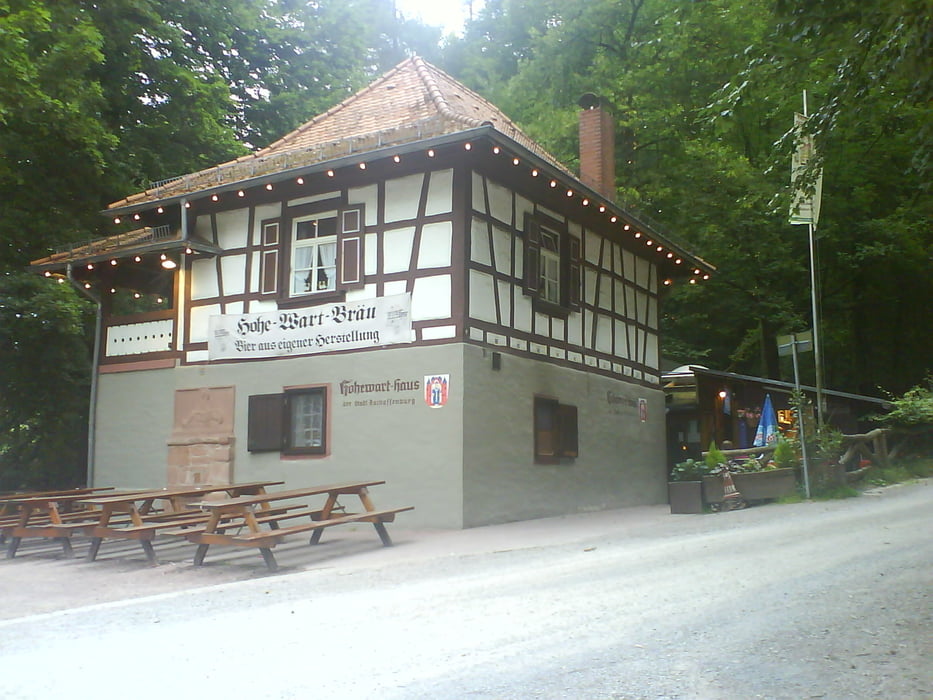
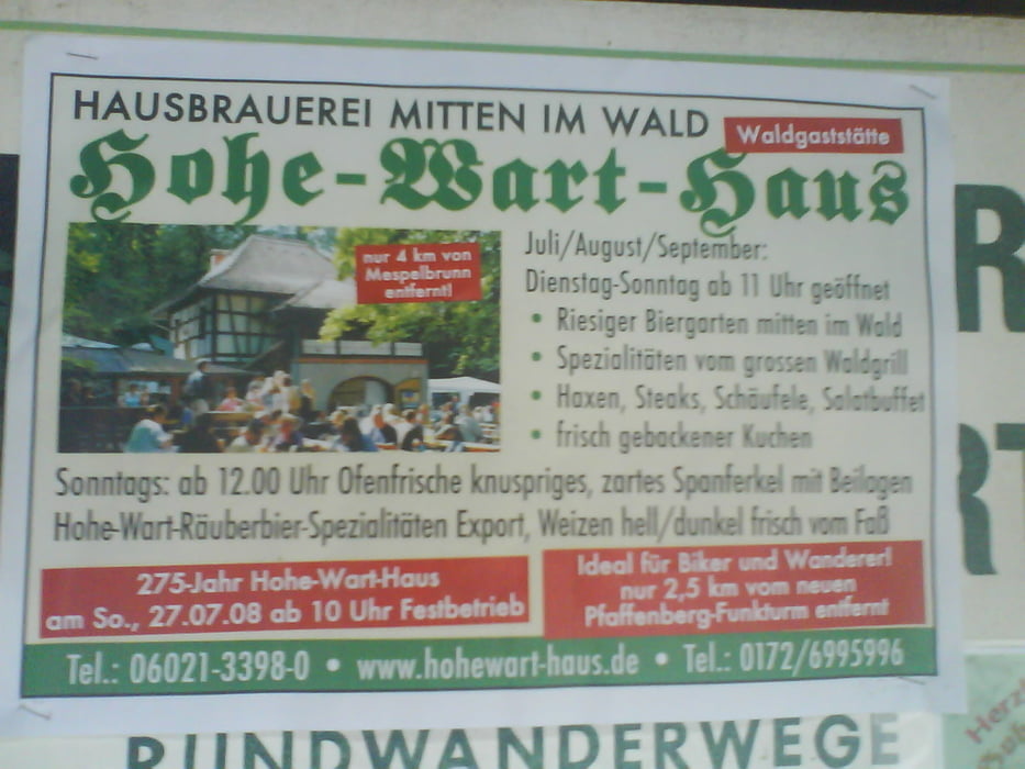
Schöne Feierabendrunde ab Haibach bei Aschaffenburg. Mischung aus Waldwegen, Trails und auch mal ein Teeranstieg oder über ne gemähte Wiese. Beim entsprechenden Wetter (schön heiß) kommt  im Kiefernwald richtig Südfrankreich-feeling auf.......

Tour gallery

Tour map and elevation profile

  • Open Street Map
  • Google
Minimum height 205 m Maximum height 470 m Detailed view

More about the tour author

Paul.Steffes
Member since 2007

Send private message

Comments

gpsbiker on 03.07.2009

Schöne Tour

Danke für diese schöne Tour, mit vielen Trails und Wiesenpfaden.
P.s. die Tour hat bei mir weniger wie 1000 hm

Gruß GPSbiker
gpsbiker on 03.07.2009

Schöne Tour

Danke für diese schöne Tour, mit vielen Trails und Wiesenpfaden.
P.s. die Tour hat bei mir weniger wie 1000 hm

Gruß GPSbiker

Die Höhenmeter werden vom Garmin GPS erzeugt! Könnte man mit nem Höhenmodel über Fugawi neu rechnen oder mit nem Barometer GPS/Höhenmesser exakter aufzeichnen. Aber wozu? Mir gehts nur um die Wegaufzeichnung.
Gruß Paul
Haibach liegt hinter Aschaffenburg. Start der Tour war am Hotel Spessartstuben.

GPS tracks

Trackpoints
  • GPX / Garmin Map Source (gpx) download
  • TCX / Garmin Training Center® (tcx) download
  • CRS / Garmin Training Center® (crs) download
  • Google Earth (kml) download
  • G7ToWin (g7t) download
  • TTQV (trk) download
  • Overlay (ovl) download
  • Fugawi (txt) download
  • Kompass (DAV) Track (tk) download
  • Track data sheet (pdf) download
  • Original file of the author (gpx) download

More about the tour author

Paul.Steffes
Member since 2007

Send private message
Share track
Add to my favorites
Remove from my favorites
Edit tags
My score
Rate
Track: Haibach-Spessart
Type: Mountain bike
Distance: 35,8 km
Evaluated on:
Duration:
Day(s)
Hour(s)
Minute(s)
Score: Landscape Fun factor Fitness Technique