


Die folgende Fahrrad-Tour startet in Pazin in der Mitte von Istrien. Dann geht es mit der Fähre auf die Insel Cres, die über eine kleine Brücke mit der Insel Lošinj verbunden ist.
Die Tour macht einen Abstecher nach Lubenice und einen Abstecher zum Startpunkt der Wanderung auf den Televrina. Den Wander-Track auf den Televrina habe ich in der Rubrik Wandern bereitgestellt.
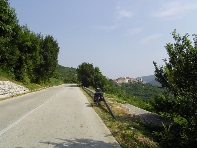
Es ist sehr hügelig. Starke Steigungen bis zu 10% sind keine Seltenheit.
Mehr steht auf meiner Web-Seite. (s.u.)
Further information at
http://www.radwahn.deTour gallery


Tour map and elevation profile
Minimum height
Maximum height 455 m
More about the tour author
|
|
Thilo |
Comments

Nach Pazin bin ich mit dem Auto gefahren. Es besteht dorthin aber auch eine Bahnverbindung, wobei ich nicht sagen kann, ob und wie man in Kroatien das Fahrrad im Zug mitnehmen darf.
Die Fähre von Istrien auf Cres fährt von Brestova nach Porozina. (und umgekehrt)
In Mali Lošinj kommt man mit der Fähre nach Zadar. (und umgekeht)
GPS tracks
Trackpoints-
GPX / Garmin Map Source (gpx) download
-
TCX / Garmin Training Center® (tcx) download
-
CRS / Garmin Training Center® (crs) download
-
Google Earth (kml) download
-
G7ToWin (g7t) download
-
TTQV (trk) download
-
Overlay (ovl) download
-
Fugawi (txt) download
-
Kompass (DAV) Track (tk) download
-
Track data sheet (pdf) download
-
Original file of the author (gpx) download
More about the tour author
|
|
Thilo |
Add to my favorites
Remove from my favorites
Edit tags
Open track
My score
Rate