


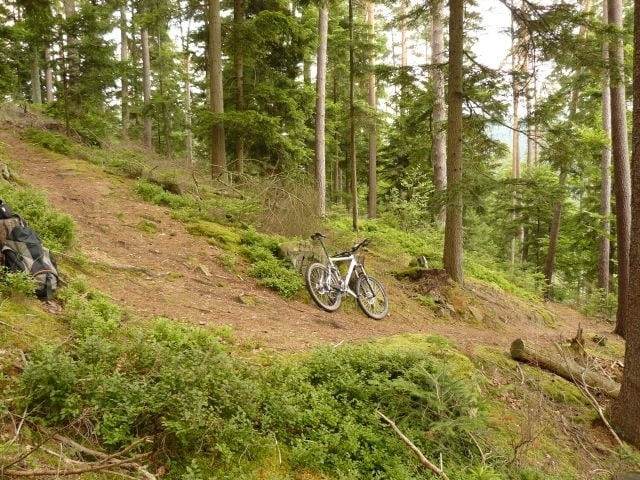
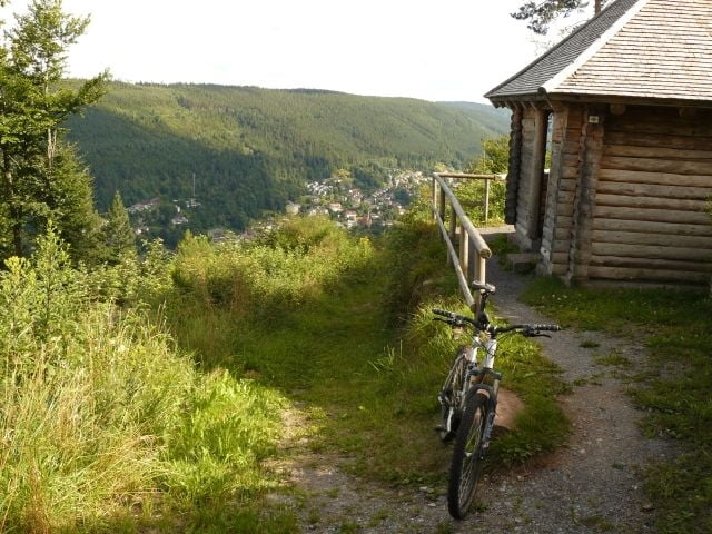
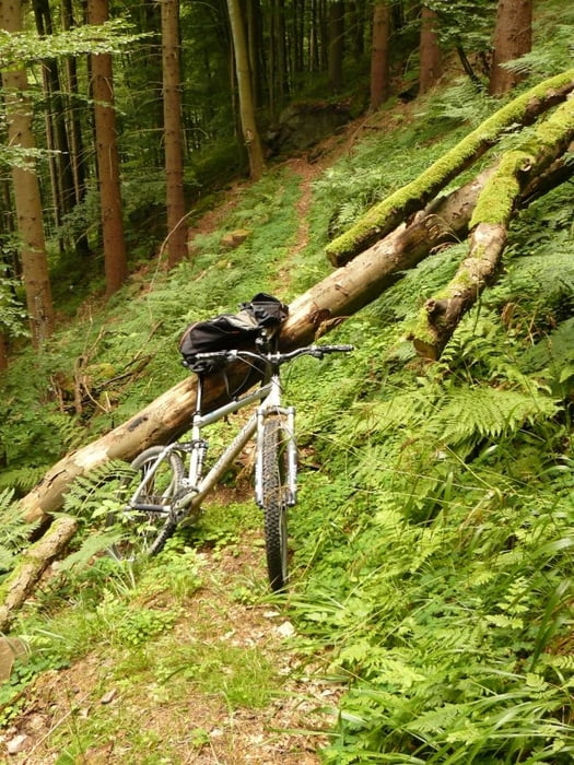
Hoher Trailanteil, teilweise technisch anspruchsvoll - vorallem vom Nagoldtal Richtung Oberkollbach - dieser Abschnitt ist für die Befahrung mit einem Kinderanhänger absolut ungeeignet. Allgemein sollte man für die Anstiege schon ein wenig Zeit mitbringen. Die Abfahrt nach Bad Wildbad strotzt nur so vor Serpentinen hier ist ein kurzer Radstand ein klarer Vorteil. Der Anschließende Anstieg bietet einen schönen Ausblick auf das Enztal. Der Aufstieg zum Dobel verläuft auf einer Art Fahrstrasse - hier kann man sicher noch was besser machen damit auch diese Teilstück mit dem Rest der Tout harmoniert.
Startet und bendet man die Tour von/in Pforzheim, kommt man auf gut 80km bei ca 1800hm.
Im Vergleich zur Choloh Rodeo, welche ungefähr die gleichen Eckdaten bietet, ist diese Tour technisch wesentlich anspruchsvoller.
Tour gallery
Tour map and elevation profile
Minimum height 261 m
Maximum height 751 m
More about the tour author

|
pb |
Comments

GPS tracks
Trackpoints-
GPX / Garmin Map Source (gpx) download
-
TCX / Garmin Training Center® (tcx) download
-
CRS / Garmin Training Center® (crs) download
-
Google Earth (kml) download
-
G7ToWin (g7t) download
-
TTQV (trk) download
-
Overlay (ovl) download
-
Fugawi (txt) download
-
Kompass (DAV) Track (tk) download
-
Track data sheet (pdf) download
-
Original file of the author (gpx) download
More about the tour author
|
|
pb |
Add to my favorites
Remove from my favorites
Edit tags
Open track
My score
Rate