


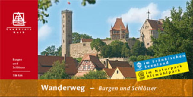
Der Weg führ über folgende Burgen/Schlösser:
- Burg Abenberg
- Schloss Dürrenmungenau
- Burg Wernfels (historische Altstadt Spalt)
- Option auf Brombachsee im fränkischen Seenland
- Deutschherrenhaus in Röttenbach
- Historisches Heideck
- südlicher Schlossberg
- Burg Stauf (Staufer Land)
- Schloss Eysölden
- Burg Hilpoltstein (schöne altstadt mit vielen Biergärten)
- Rothsee
- Schloss Ratibor in Roth
Übernachtungsmöglichkeiten sowie Biergärten und Gasthöfe zum Einkehren finden sich jede Menge entlang der Route. Guter Tipp ist die Pflugsmühle zwischen Spalt und Wassermungenau.
Supernette Rundtour durchs Fränkische mit tollen Panoramen, viel Geschichte und fränkischer Gastfreundlichkeit!
Further information at
http://www.landratsamt-roth.de/Portaldata/1/Resources/www.landratsamt_roth.de/freizeit_und_tourismus/download/dokumente/Flyer_BurgenSchloesser.pdfTour gallery
Tour map and elevation profile
Minimum height 331 m
Maximum height 573 m
More about the tour author

|
Disman |
Comments

DB Bahnhof Roth (www.db.de)
GPS tracks
Trackpoints-
GPX / Garmin Map Source (gpx) download
-
TCX / Garmin Training Center® (tcx) download
-
CRS / Garmin Training Center® (crs) download
-
Google Earth (kml) download
-
G7ToWin (g7t) download
-
TTQV (trk) download
-
Overlay (ovl) download
-
Fugawi (txt) download
-
Kompass (DAV) Track (tk) download
-
Track data sheet (pdf) download
-
Original file of the author (gpx) download
More about the tour author
|
|
Disman |
Add to my favorites
Remove from my favorites
Edit tags
Open track
My score
Rate