Login

Forgot your login?

Cookies have to be accepted!
Your browser's cookie functionality is disabled. Please enable this functionality.

Not a member yet?

Register now
Login

Available for registred users only

Log in to use this feature.

Forgot your login?

Cookies have to be accepted!
Your browser's cookie functionality is disabled. Please enable this functionality.

Not a member yet?

Register now
Filter
Categories
Advanced filters
  • Distance (km)
  • Height
Save filters Reset filter

TrackRank

QRCode

Technical data

Distance40,6 km Height841 m Way down841 m Duration00:00 h:m Date21.07.2008
Scores Author Landscape Fun factor Fitness Technique

Statistics

775 Views Scores 160 Downloads Average
Rate
  • Track data sheet
  • Directions
  • Downloads

Hier werden drei gemütliche Touren beschrieben:

1. Von Hambach nach S.Martin über Maikammer zurück.(12,3 Km)

2. Von Hambach zur Hohen Looge und über Schloß Hambach und Wetterkreuz zurück.(11,5Km)

3. Von Hambach über S.Martin nach Roth.16,8Km)
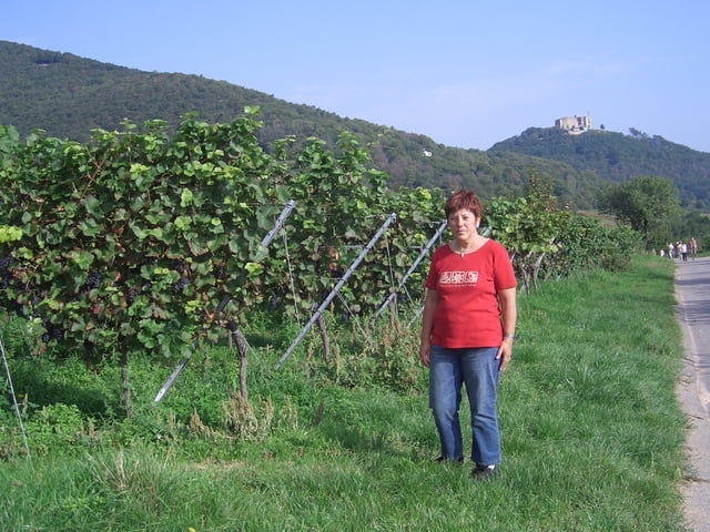
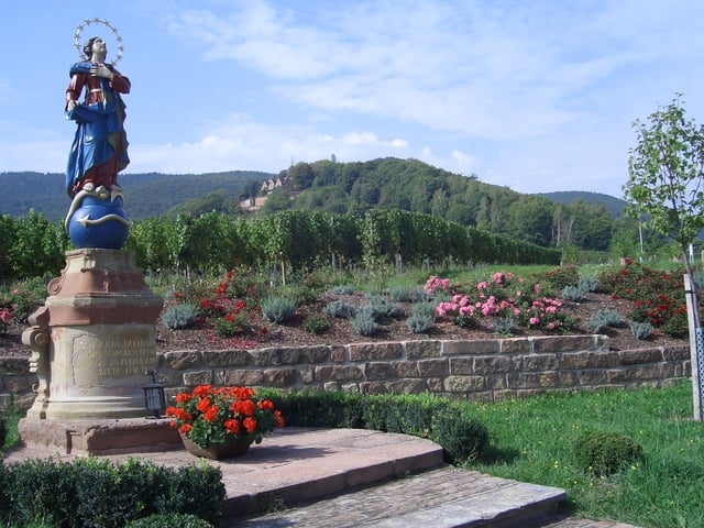
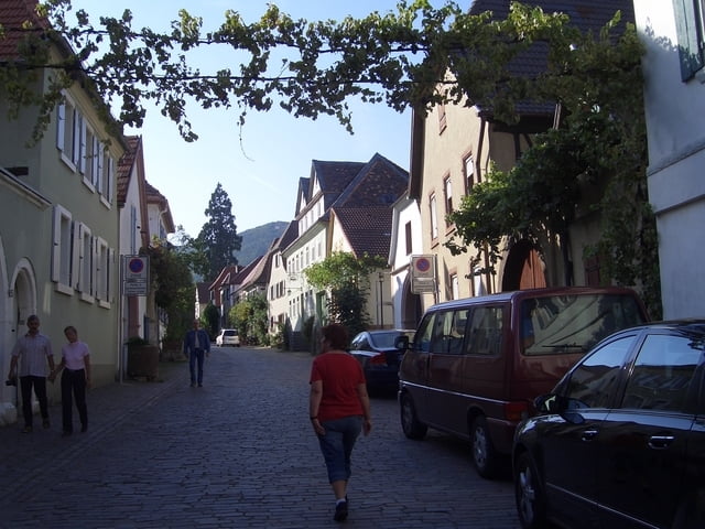
Tour gallery

Tour map and elevation profile

  • Open Street Map
  • Google
Minimum height 53 m Maximum height 617 m Detailed view

More about the tour author

Heynck
Member since 2008

Send private message

Comments

GPS tracks

Trackpoints
  • GPX / Garmin Map Source (gpx) download
  • TCX / Garmin Training Center® (tcx) download
  • CRS / Garmin Training Center® (crs) download
  • Google Earth (kml) download
  • G7ToWin (g7t) download
  • TTQV (trk) download
  • Overlay (ovl) download
  • Fugawi (txt) download
  • Kompass (DAV) Track (tk) download
  • Track data sheet (pdf) download
  • Original file of the author (gpx) download

More about the tour author

Heynck
Member since 2008

Send private message
Share track
Add to my favorites
Remove from my favorites
Edit tags
My score
Rate
Track: Von Hambach durch die Weinberge
Type: Hiking
Distance: 40,6 km
Evaluated on:
Duration:
Day(s)
Hour(s)
Minute(s)
Score: Landscape Fun factor Fitness Technique