


Hallo ihr MTB`ler da draußen,
Hier eine doch recht anspruchsvolle Runde
aus unserem Urlaub im meist verregneten Sommer 2008 !
Viel Spaß dabei !
Die ersten 7km (wie auch die letzten 7km) kann man natürlich auch
weglassen wenn man von Bad Hofgastein startet.
Zum Einrollen und Ausfahren sind die 2 mal 7km auf jeden Fall O.K. !
Grüße und ein langes Leben
wünscht euch
Klaus (Big-Uphill-L)
PS: Grüße an Jörg der Tapfer durchgehalten hat !
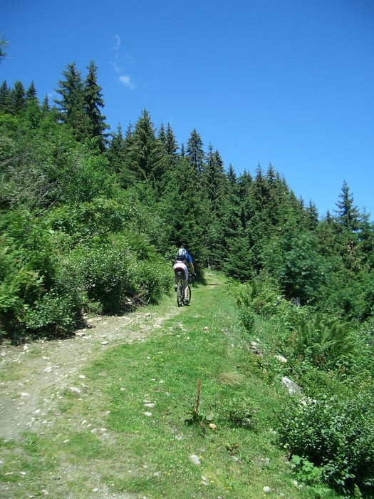
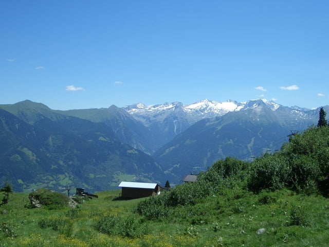
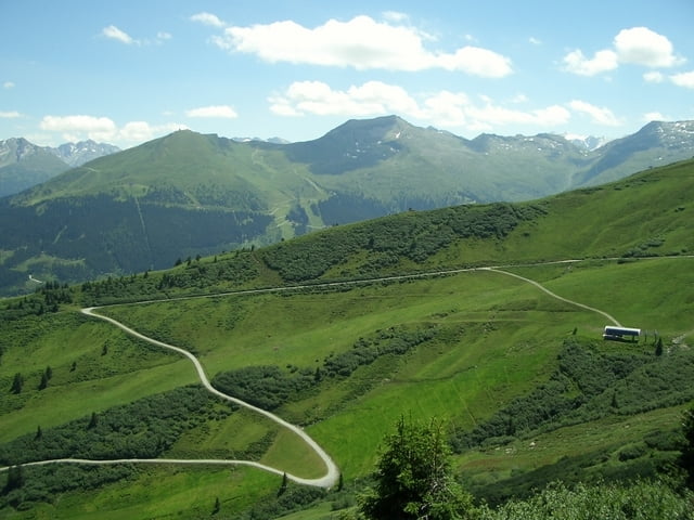
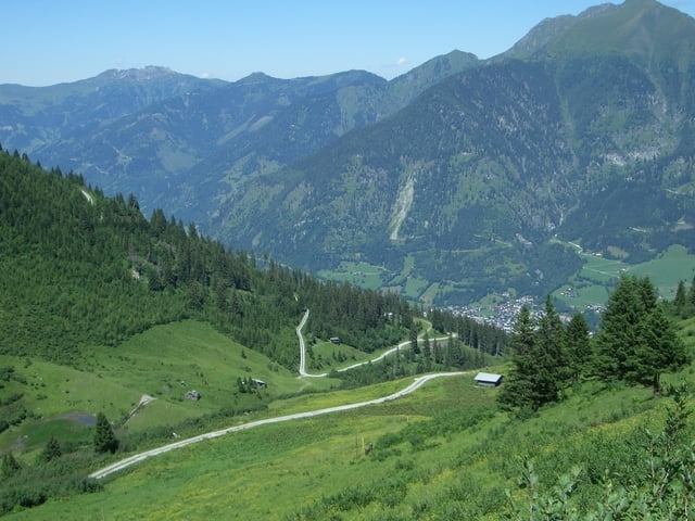
Tour gallery
Tour map and elevation profile
Minimum height 844 m
Maximum height 1954 m
More about the tour author
|
|
klausemann |
Comments

Wer von Badbruck aus startet parkt am besten am Ortseingang am
Straßenrand oder ca. 1km vor dem Ort auf dem Parkplatz des Badesees !
Wer von Bad Hofgastein aus startet parkt am besten auf dem Parkplatz der Schlossalmbahn !
GPS tracks
Trackpoints-
GPX / Garmin Map Source (gpx) download
-
TCX / Garmin Training Center® (tcx) download
-
CRS / Garmin Training Center® (crs) download
-
Google Earth (kml) download
-
G7ToWin (g7t) download
-
TTQV (trk) download
-
Overlay (ovl) download
-
Fugawi (txt) download
-
Kompass (DAV) Track (tk) download
-
Track data sheet (pdf) download
-
Original file of the author (gpx) download
More about the tour author
|
|
klausemann |
Add to my favorites
Remove from my favorites
Edit tags
Open track
My score
Rate