


Mittelschwere Biketour über geschotterte Wege mit stetiger Steigung von ca. 10% und auch mehr. Ausgangspunkt Aldein/Lerch. Über die Asphaltstraße von Lerch nach Osten in Richtung Schmiederalm, dann an der Forststraße in Richtung „Neuhütt/Auer-Leger Alm“. Hier immer weiter hinauf in Richtung Weißhorn. Von der Auer-Leger Alm sind es dann noch 2 km bis zum Jochgrimm. Über die gleiche Strecke wieder zurück, oder am Wegpunkt (AbzwLahn) den Trial über die Lahner Alm benutzen.
Tip: Vom Parkplatz der Lahner Alm erreicht man die „Bletterbachschlucht“. Südtirols Canyon. Ein geologisches, großartiges Ereignis.
Tip: Vom Parkplatz der Lahner Alm erreicht man die „Bletterbachschlucht“. Südtirols Canyon. Ein geologisches, großartiges Ereignis.
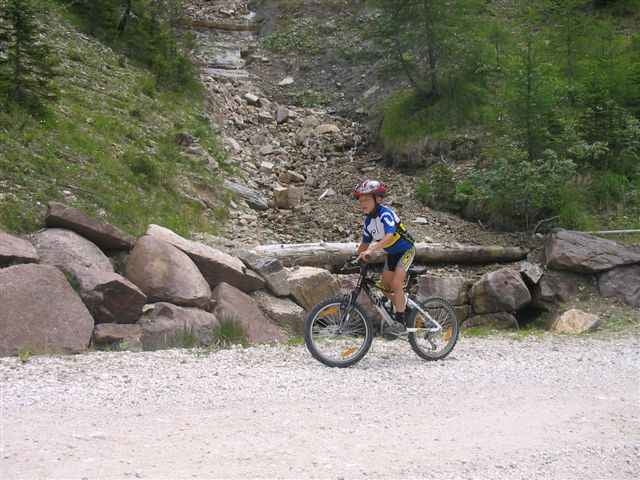
Tour gallery
Tour map and elevation profile
Minimum height 1451 m
Maximum height 1997 m
More about the tour author

|
jens_scholz |
Comments

Von Neumarkt oder Auer in Richtung Cavalese (SS 48), dann die SP 72 in Richtung Aldein/Lerch.
GPS tracks
Trackpoints-
GPX / Garmin Map Source (gpx) download
-
TCX / Garmin Training Center® (tcx) download
-
CRS / Garmin Training Center® (crs) download
-
Google Earth (kml) download
-
G7ToWin (g7t) download
-
TTQV (trk) download
-
Overlay (ovl) download
-
Fugawi (txt) download
-
Kompass (DAV) Track (tk) download
-
Track data sheet (pdf) download
More about the tour author
|
|
jens_scholz |
Add to my favorites
Remove from my favorites
Edit tags
Open track
My score
Rate