


Eine kleine Feierabendrunde vorbei an zwei Windrädern.
Gestartet wird die Tour in Jengen am südlichen Ortsrand.
Parkmöglichkeit am Fussballplatz in Jengen.
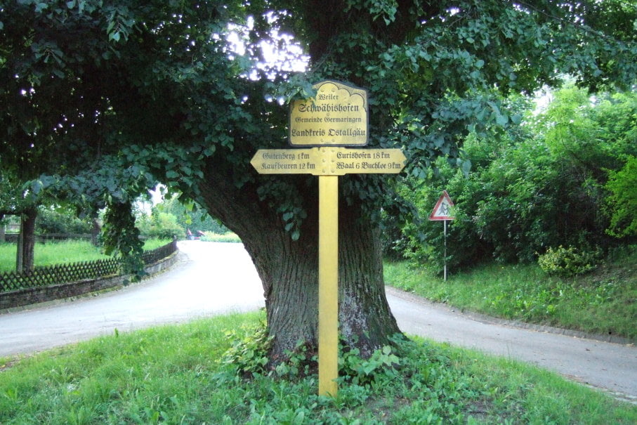
Von Jengen aus geht es über Schwäbishofen auf den Georgiberg (Wer hier noch Lust auf ein paar zusätzliche Höhenmeter und Wurzeltrails hat, kann den Georgiberg zusätzlich von der anderen Seitebezwingen, und die Schleife bis zur Kirche hochfahren) hier links abbiegen, und gerade aus durch den Wald.
Dann geht es zügig über Westendorf, Oberostendorf nach Gerbishofen, ab hier dann zurück über Lengenfeld und weiter über Feld- und Forststrassen nach Jengen.
Tour gallery

Tour map and elevation profile
Minimum height 635 m
Maximum height 730 m
More about the tour author

|
Comments

A96 Ausfahrt Jengen / Kaufbeuren
GPS tracks
Trackpoints-
GPX / Garmin Map Source (gpx) download
-
TCX / Garmin Training Center® (tcx) download
-
CRS / Garmin Training Center® (crs) download
-
Google Earth (kml) download
-
G7ToWin (g7t) download
-
TTQV (trk) download
-
Overlay (ovl) download
-
Fugawi (txt) download
-
Kompass (DAV) Track (tk) download
-
Track data sheet (pdf) download
-
Original file of the author (gpx) download
More about the tour author
|
|
Add to my favorites
Remove from my favorites
Edit tags
Open track
My score
Rate