
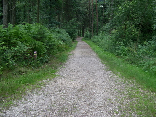

Deze Tocht start in de Commandeurstraat in Mechelen....hierna gaan we links richting Elzet.
Hierna voert de tocht door het Elzetterbos-Vijlenerbos naar de grens bij Gemminch.
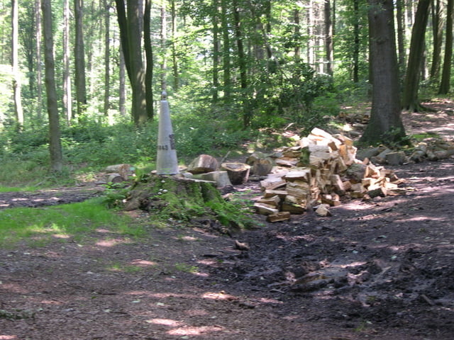
Waarna we klimmen door het Vaalserbos naar het 3 landenpunt.
Hierna gaat de tocht verder door het Akenerbos,waarbij we ook de wijk Preuswals passeren.
en vervolgens over de spoorbrug van de thalys verder het akenerbos door.
Hierna komen we terug op het 3 landenpunt,waarna we afdalen naar de wijk "wolfhaag".
Vandaar uit gaan we weer het bos in terug via het boscafe "Het Hijgend Hert" weer naar Mechelen.
Dit is best een pittige tocht met enkele stijle hellingen en singletracks.
In de route zit niet meer dan 15% asphalt.
Let op! 09-08-08 -- nieuwe verbeterde tracklog met waypoints (route iets zwaarder)
This excursion starts in the commandeur street in Mechelen….hereafter we go left direction Elzet. Hereafter the excursion conducts by the elzetterbos Vijlenerbos to the border at Gemminch. Whereupon we climb by the Vaalserbos to 3 the country point. Hereafter the excursion goes further by the Akenerbos, where we also the district passes Preuswald. and vervolgens concerning the track bridge of the thalys further the akenerbos. Hereafter we return on 3 the country point, whereupon we descend to the district " wolfhaag". Hence from we return the bunch in by means of the bunch bar " The panting Hert" to Mechelen. This best a spicy excursion with some stijle slopes and singletracks is. In the route is present no longer than 15% asphalt.
Attention! 09-08-08 new tracklog incl. waypoints en tour a bit heavyer
Diese tour beginnt in der commandeur Straße in Mechelen….nachher gehen wir Richtung Elzet linke. Nachher die tour durch die elzetterbos Vijlenerbos zum Rand bei Gemminch. Worauf wir durch das Vaalserbos bis 3 den Landpunkt klettern. Nachher geht die tour weiter durch den Aachenerwald, in dem wir auch der Bezirk Preuswald führen. und vervolgens hinsichtlich der Schienenbrücke der thalys fördern den aachenerwald. Nachher kommen wir auf 3 den Landpunkt zurück, worauf wir zum Bezirk "wolfhaag". absteigen; Folglich gehen wir zurück. uber das waldcafe "Keuchen Hert" zu Mechelen. Dieses tour ist mit einige stijle bergen und singletracks In die tour ist nicht mehr als 15% Asphalt enthalten.
Achtung! 09-08-08 neuer tracklog mit bessere waypoints.....tour etwas schwerer
Tour gallery
Tour map and elevation profile
Minimum height 101 m
Maximum height 373 m
More about the tour author
|
|
BertAusten |
Comments

De start is in de Commandeurstraat te 6281 AM Mechelen
the tour starts in the commandeurstreet 6281 AM Mechelen
Diese tour startet in die Commandeurstrasse 6281 AM Mechelen
GPS tracks
Trackpoints-
GPX / Garmin Map Source (gpx) download
-
TCX / Garmin Training Center® (tcx) download
-
CRS / Garmin Training Center® (crs) download
-
Google Earth (kml) download
-
G7ToWin (g7t) download
-
TTQV (trk) download
-
Overlay (ovl) download
-
Fugawi (txt) download
-
Kompass (DAV) Track (tk) download
-
Track data sheet (pdf) download
-
Original file of the author (gpx) download
More about the tour author
|
|
BertAusten |
Add to my favorites
Remove from my favorites
Edit tags
Open track
My score
Rate