


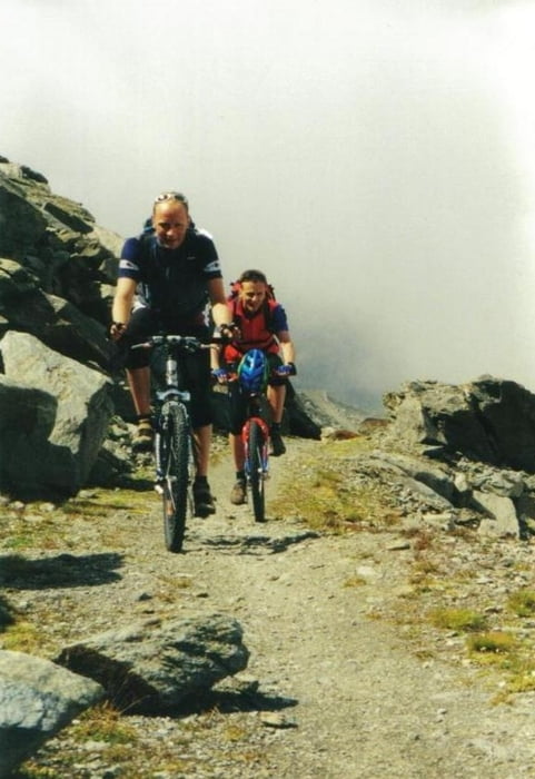
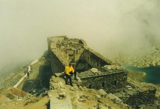
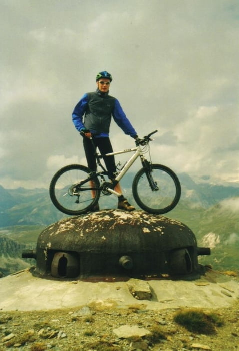
vom parkplatz gehts erstmal richtung italien auf der bundesstraße bis zur staumauer des lac du mont cenis. auf der staumauer fahren wir dann richtung fort de variselle. den abzweiger lassen wir dann rechts liegen und folgen der immer übler werdenden militärstraße zum fort malamot am pointe droset. traumblicke durch die wolken waren uns an dem tag garantiert! nach einer ausgiebigen besichtigung der ganzen festungsanlage auf dem berg, gings die geröll-piste genause wieder zurück bis zum parkplatz!
Further information at
http://www.hegibiketours.deTour gallery

Tour map and elevation profile
Minimum height 1958 m
Maximum height 2915 m
More about the tour author
|
|
hegi |
Comments

Start am Lac du Mont Cenis am Parkplatz bei der Pyramit du Mont Cenis
GPS tracks
Trackpoints-
GPX / Garmin Map Source (gpx) download
-
TCX / Garmin Training Center® (tcx) download
-
CRS / Garmin Training Center® (crs) download
-
Google Earth (kml) download
-
G7ToWin (g7t) download
-
TTQV (trk) download
-
Overlay (ovl) download
-
Fugawi (txt) download
-
Kompass (DAV) Track (tk) download
-
Track data sheet (pdf) download
-
Original file of the author (gpx) download
More about the tour author
|
|
hegi |
Add to my favorites
Remove from my favorites
Edit tags
Open track
My score
Rate