


Start und Ziel ist der Parkplatz an der Kirche in Senden-Ottmarsbocholt.
Hin und Rückweg zwischen Ottmarsbocholt und Schapdetten sind identisch.
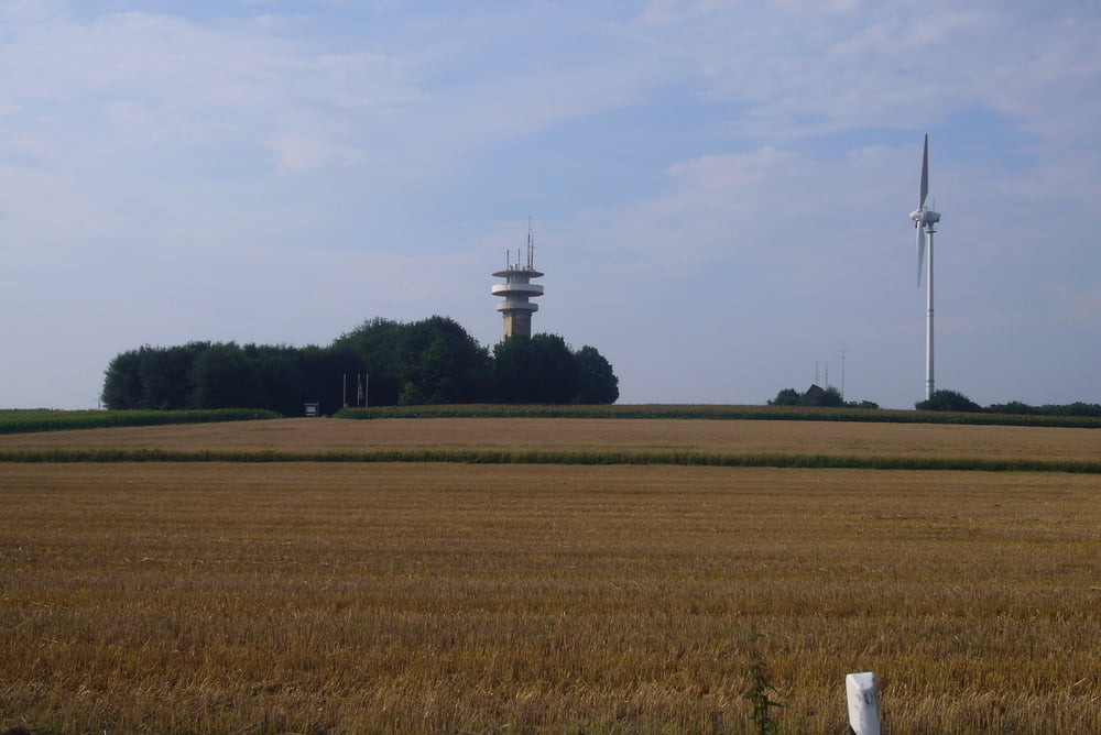
Dies ist der flache Teil der Tour, danach kann man die Münsterländer "Höhenzüge" geniessen.
Die Strecke führt über Wirtschaftswege und wenig befahrene Landstrassen.
Es geht östlich an Senden vorbei, über Schapdetten, Ferienpark Baumberge, Billerbeck, Darfeld, wieder Billerbeck, Coesfeld, Darup, Lounginusturm, Stevern und zurück.
Tour gallery
Tour map and elevation profile
Minimum height 54 m
Maximum height 183 m
More about the tour author
|
|
Pluto |
Comments

GPS tracks
Trackpoints-
GPX / Garmin Map Source (gpx) download
-
TCX / Garmin Training Center® (tcx) download
-
CRS / Garmin Training Center® (crs) download
-
Google Earth (kml) download
-
G7ToWin (g7t) download
-
TTQV (trk) download
-
Overlay (ovl) download
-
Fugawi (txt) download
-
Kompass (DAV) Track (tk) download
-
Track data sheet (pdf) download
-
Original file of the author (gpx) download
More about the tour author
|
|
Pluto |
Add to my favorites
Remove from my favorites
Edit tags
Open track
My score
Rate