


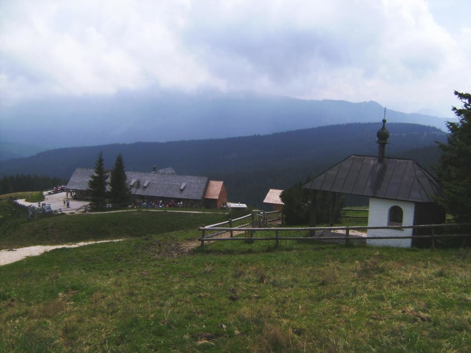
Neben der Straße von Anger der wohl gebräuchlichste Anstieg von Norden auf die "Stoißer". Parken So./abends beim Pennymarkt in Teisendorf. Auf der Straße über Freidling nach Point (Schmuckbauer), im Wald vor der Schranke wäre auch noch ein Parkplatz. Dann auf der Forstraße bequem, zwischendurch auch etwas abwärts, zu einem Viehgatter. Dort trifft man auf den Weg von Anger. Ab hier knackig (bis 18 % Steigung) in ca. 10 Minuten zur Alm.
Further information at
http://www.dav-teisendorf.de/dud/teisenberg.htmTour gallery
Tour map and elevation profile
Minimum height 511 m
Maximum height 1278 m
More about the tour author
|
|
herzi |
Comments

GPS tracks
Trackpoints-
GPX / Garmin Map Source (gpx) download
-
TCX / Garmin Training Center® (tcx) download
-
CRS / Garmin Training Center® (crs) download
-
Google Earth (kml) download
-
G7ToWin (g7t) download
-
TTQV (trk) download
-
Overlay (ovl) download
-
Fugawi (txt) download
-
Kompass (DAV) Track (tk) download
-
Track data sheet (pdf) download
-
Original file of the author (gpx) download
More about the tour author
|
|
herzi |
Add to my favorites
Remove from my favorites
Edit tags
Open track
My score
Rate