Login

Forgot your login?

Cookies have to be accepted!
Your browser's cookie functionality is disabled. Please enable this functionality.

Not a member yet?

Register now
Login

Available for registred users only

Log in to use this feature.

Forgot your login?

Cookies have to be accepted!
Your browser's cookie functionality is disabled. Please enable this functionality.

Not a member yet?

Register now
Filter
Categories
Advanced filters
  • Distance (km)
  • Height
Save filters Reset filter

TrackRank

QRCode

Technical data

Distance14,7 km Height599 m Way down598 m Duration01:05 h:m Date30.07.2008
Scores Author Landscape Fun factor Fitness Technique

Statistics

285 Views Scores 37 Downloads Average
Rate
  • Track data sheet
  • Directions
  • Downloads

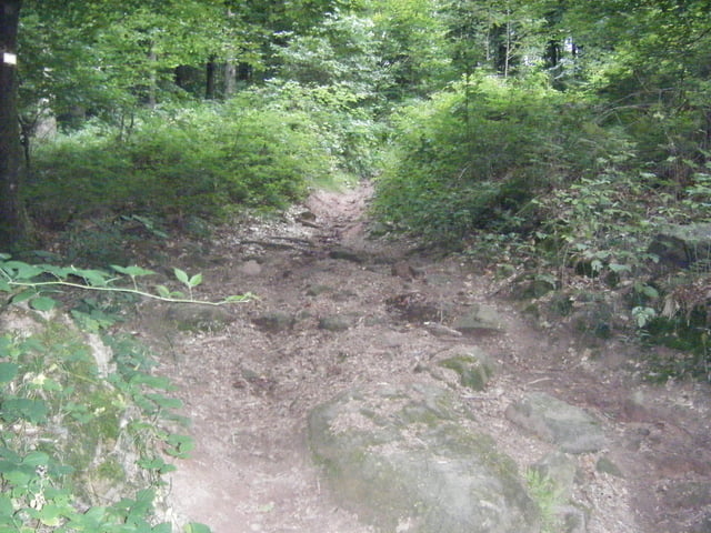
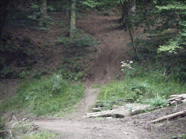
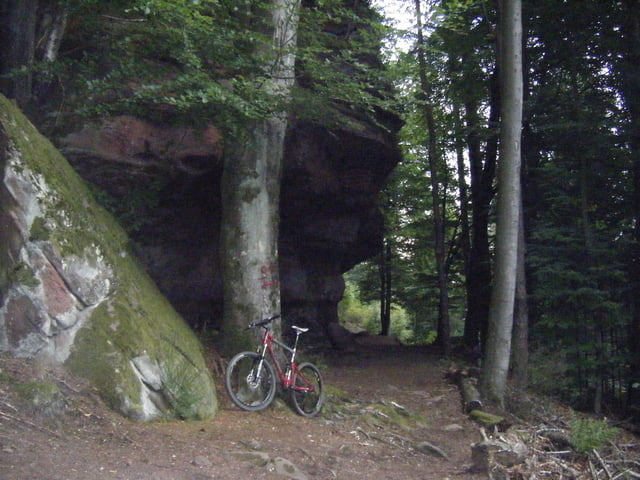
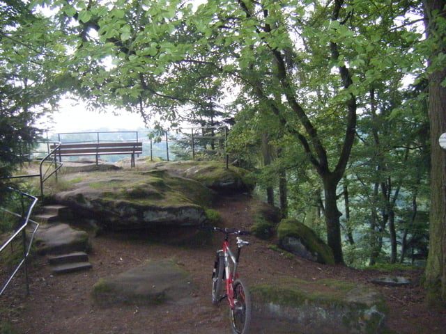
D'abord nous empreintons le chemin VTT noir n°1 puis suivons en partie le sentier des 3 rochers.

Le tracé empreinte plusieurs petits singletrails et par endroit il est assez technique.

Tour gallery

Tour map and elevation profile

  • Open Street Map
  • Google
Minimum height 240 m Maximum height 396 m Detailed view

More about the tour author

pascal.67
Member since 2008

Send private message

Comments

Le départ se fait sur le parking de l'office de tourisme à la Petite Pierre

GPS tracks

Trackpoints
  • GPX / Garmin Map Source (gpx) download
  • TCX / Garmin Training Center® (tcx) download
  • CRS / Garmin Training Center® (crs) download
  • Google Earth (kml) download
  • G7ToWin (g7t) download
  • TTQV (trk) download
  • Overlay (ovl) download
  • Fugawi (txt) download
  • Kompass (DAV) Track (tk) download
  • Track data sheet (pdf) download
  • Original file of the author (gpx) download

More about the tour author

pascal.67
Member since 2008

Send private message
Share track
Add to my favorites
Remove from my favorites
Edit tags
My score
Rate
Track: Rocher des Païens et le rocher blanc
Type: Mountain bike
Distance: 14,7 km
Evaluated on:
Duration:
Day(s)
Hour(s)
Minute(s)
Score: Landscape Fun factor Fitness Technique