


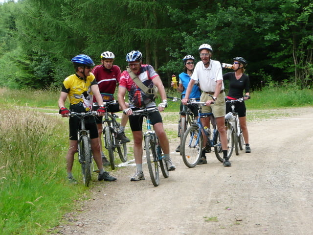
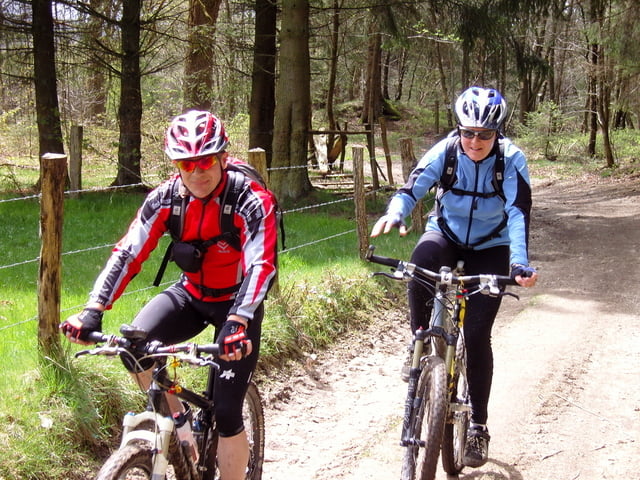
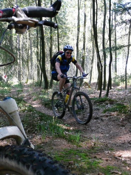
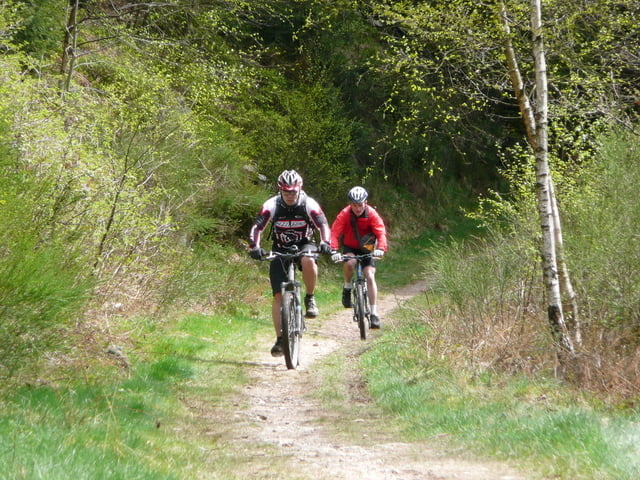
Starts in Schönberg at the church and follows trails through the Belgian Eifel in mixed forest and a few single trails, some technical. Can be very muddy after heavy rain, but only in a few places. O,nce in Germany you have beautiful views ovre a huge area and you are at the highest point in the region
Make a break at the Schwarzer Mann and then it is nearly all downhill back to Schönberg
Further information at
http://www.creamteam.beTour gallery
Tour map and elevation profile
Minimum height 424 m
Maximum height 701 m
More about the tour author
|
|
Cream Team |
Comments

Leave the E42 at junction 15, follow the N626 through Saint Vith towards Manderfeld and you arrive at Schönberg 12km later. Pleanty of parking at the church and 2 pubs serving good food and ale!
GPS tracks
Trackpoints-
GPX / Garmin Map Source (gpx) download
-
TCX / Garmin Training Center® (tcx) download
-
CRS / Garmin Training Center® (crs) download
-
Google Earth (kml) download
-
G7ToWin (g7t) download
-
TTQV (trk) download
-
Overlay (ovl) download
-
Fugawi (txt) download
-
Kompass (DAV) Track (tk) download
-
Track data sheet (pdf) download
-
Original file of the author (gpx) download
More about the tour author
|
|
Cream Team |
Add to my favorites
Remove from my favorites
Edit tags
Open track
My score
Rate