Login

Forgot your login?

Cookies have to be accepted!
Your browser's cookie functionality is disabled. Please enable this functionality.

Not a member yet?

Register now
Login

Available for registred users only

Log in to use this feature.

Forgot your login?

Cookies have to be accepted!
Your browser's cookie functionality is disabled. Please enable this functionality.

Not a member yet?

Register now
Filter
Categories
Advanced filters
  • Distance (km)
  • Height
Save filters Reset filter

TrackRank

QRCode

Technical data

Distance14,9 km Height663 m Way down633 m Duration02:00 h:m Date03.08.2008
Scores Author User Landscape Fun factor Fitness Technique

Statistics

7195 Views 5 Scores 420 Downloads 4.40 Average
Rate
  • Track data sheet
  • Directions
  • Downloads

Kuzbeschreibung:

  • Kurze Abendtour
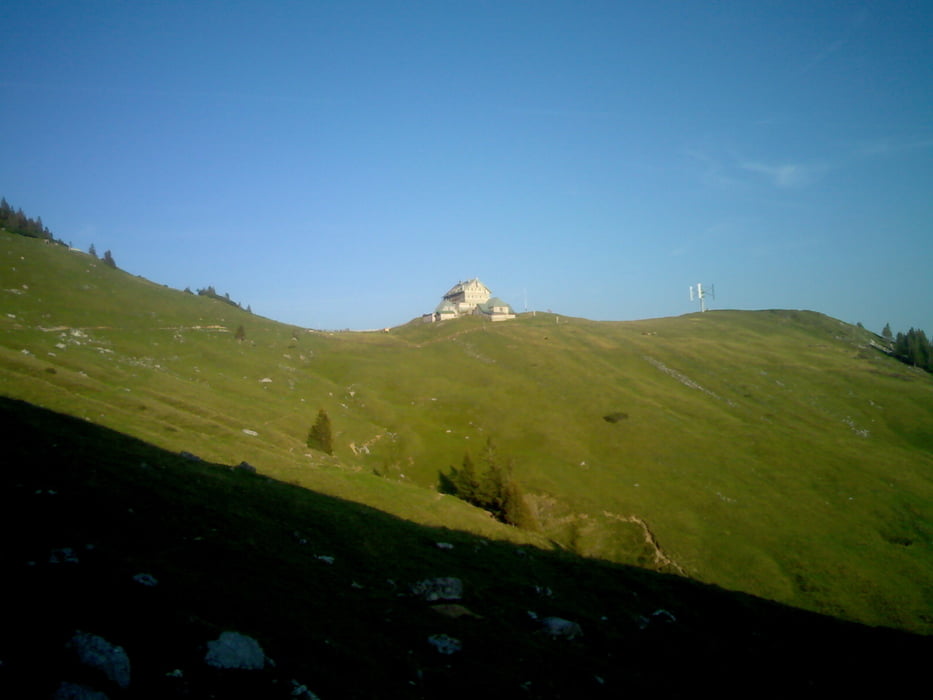
  • Landschaftlich sehr schön
  • Auffahrt größtenteils im Schatten (Wald)
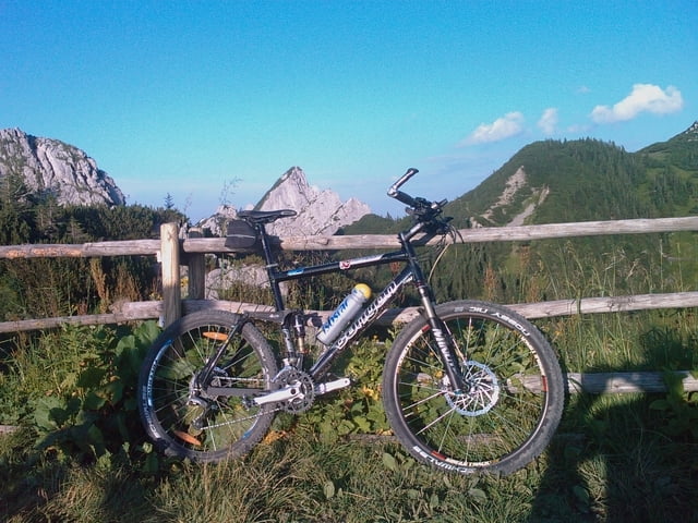
  • griffiger Schotterweg mit teilweise großer Steigung

Optionale Erweiterung:

  • Start in Neuhaus über Schotter und Teer nach Spitzing
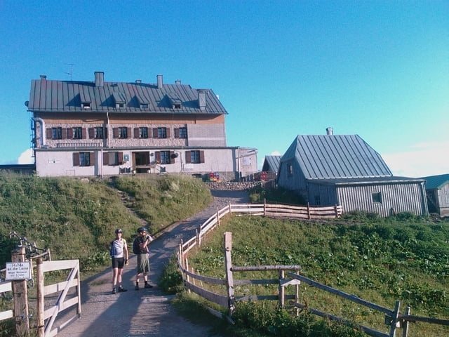
  • vom Rotwandhaus weiter zur Rotwand

Further information at

http://hoesl-net.de

Tour gallery

Tour map and elevation profile

  • Open Street Map
  • Google
Minimum height 1078 m Maximum height 1731 m Detailed view

More about the tour author

j0
Member since 2006

Send private message

Comments

rhinopeak on 26.08.2010

Auch Wintervergnügen

Sehr schöne kurze Tour. Habe ich auch schon im an einem wunderschönen, bitterkalten Silverstertag bei Schnee mit Spikereifen durchgeführt - super spassig.
Spitzingsee (optional Neuhaus)

GPS tracks

Trackpoints
  • GPX / Garmin Map Source (gpx) download
  • TCX / Garmin Training Center® (tcx) download
  • CRS / Garmin Training Center® (crs) download
  • Google Earth (kml) download
  • G7ToWin (g7t) download
  • TTQV (trk) download
  • Overlay (ovl) download
  • Fugawi (txt) download
  • Kompass (DAV) Track (tk) download
  • Track data sheet (pdf) download
  • Original file of the author (gpx) download

More about the tour author

j0
Member since 2006

Send private message
Share track
Add to my favorites
Remove from my favorites
Edit tags
My score
Rate
Track: Vom Spitzingsee zum Rotwandhaus
Type: Mountain bike
Distance: 14,9 km
Evaluated on:
Duration:
Day(s)
Hour(s)
Minute(s)
Score: Landscape Fun factor Fitness Technique