Login

Forgot your login?

Cookies have to be accepted!
Your browser's cookie functionality is disabled. Please enable this functionality.

Not a member yet?

Register now
Login

Available for registred users only

Log in to use this feature.

Forgot your login?

Cookies have to be accepted!
Your browser's cookie functionality is disabled. Please enable this functionality.

Not a member yet?

Register now
Filter
Categories
Advanced filters
  • Distance (km)
  • Height
Save filters Reset filter

TrackRank

QRCode

Technical data

Distance121,4 km Height2950 m Way down3081 m Duration10:00 h:m Date03.08.2008
Scores Author Landscape Fun factor Fitness Technique

Statistics

1390 Views Scores 137 Downloads Average
Rate
  • Track data sheet
  • Directions
  • Downloads
Die höchsten Berge im Nord- und Hoch-Harz

Tour gallery

Tour map and elevation profile

  • Open Street Map
  • Google
Minimum height 211 m Maximum height 1134 m Detailed view

More about the tour author

kleinmaus
Member since 2008

Send private message

Comments

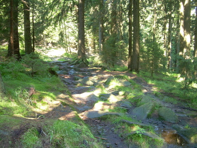
Einstieg in jeder Ortschaft : zB: Bad Harzburg an der Seilbahn oder Torfhaus Großparkplatz

GPS tracks

Trackpoints
  • GPX / Garmin Map Source (gpx) download
  • TCX / Garmin Training Center® (tcx) download
  • CRS / Garmin Training Center® (crs) download
  • Google Earth (kml) download
  • G7ToWin (g7t) download
  • TTQV (trk) download
  • Overlay (ovl) download
  • Fugawi (txt) download
  • Kompass (DAV) Track (tk) download
  • Track data sheet (pdf) download
  • Original file of the author (gpx) download

More about the tour author

kleinmaus
Member since 2008

Send private message
Share track
Add to my favorites
Remove from my favorites
Edit tags
My score
Rate
Track: Harz alle Höhen
Type: Mountain bike
Distance: 121,4 km
Evaluated on:
Duration:
Day(s)
Hour(s)
Minute(s)
Score: Landscape Fun factor Fitness Technique