Login

Forgot your login?

Cookies have to be accepted!
Your browser's cookie functionality is disabled. Please enable this functionality.

Not a member yet?

Register now
Login

Available for registred users only

Log in to use this feature.

Forgot your login?

Cookies have to be accepted!
Your browser's cookie functionality is disabled. Please enable this functionality.

Not a member yet?

Register now
Filter
Categories
Advanced filters
  • Distance (km)
  • Height
Save filters Reset filter

TrackRank

QRCode

Technical data

Distance44,3 km Height1204 m Way down1106 m Duration05:00 h:m Date04.08.2008
Scores Author Landscape Fun factor Fitness Technique

Statistics

2173 Views 1 Score 241 Downloads 5.00 Average
Rate
  • Track data sheet
  • Directions
  • Downloads


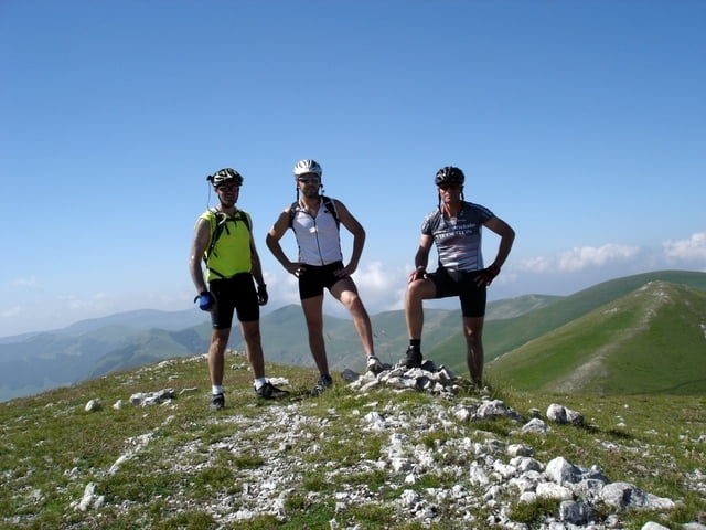
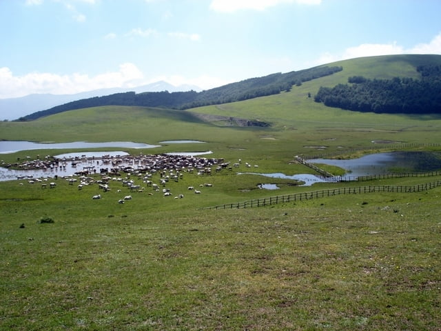
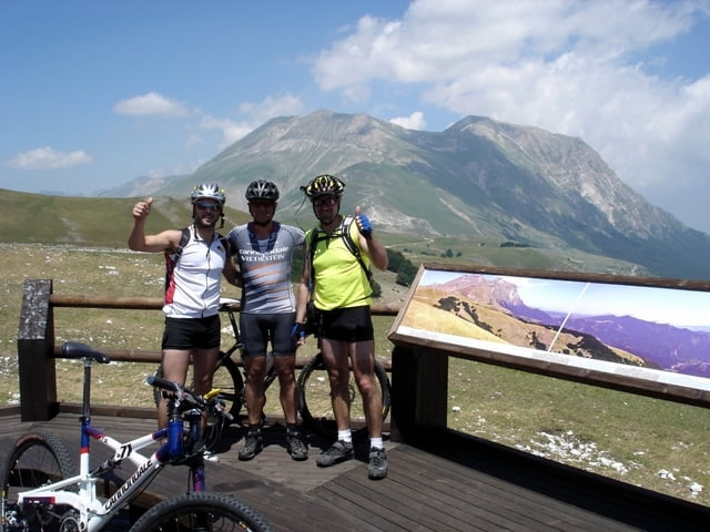
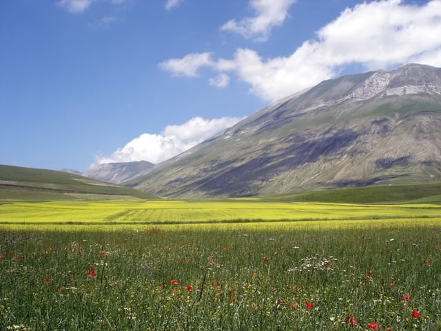
Questo giro ci permette di percorrere le cime sopra il Pian Grande ed il Pian Piccolo, con una variante per i Pantani di Accumuli. E’ sicuramente consigliabile per chi vuole conoscere l’ambiente di Castelluccio e dei suoi Piani perché il percorso è panoramico e senza particolari difficoltà anche se un po’ faticoso in quanto interamente sterrato.

www.sibillini-mtb.it

Further information at

http://www.sibillini-mtb.it

Tour gallery

Tour map and elevation profile

  • Open Street Map
  • Google
Minimum height 1242 m Maximum height 1808 m Detailed view

More about the tour author

barbonis
Member since 2008

Send private message

Comments

GPS tracks

Trackpoints
  • GPX / Garmin Map Source (gpx) download
  • TCX / Garmin Training Center® (tcx) download
  • CRS / Garmin Training Center® (crs) download
  • Google Earth (kml) download
  • G7ToWin (g7t) download
  • TTQV (trk) download
  • Overlay (ovl) download
  • Fugawi (txt) download
  • Kompass (DAV) Track (tk) download
  • Track data sheet (pdf) download
  • Original file of the author (gpx) download

More about the tour author

barbonis
Member since 2008

Send private message
Share track
Add to my favorites
Remove from my favorites
Edit tags
My score
Rate
Track: Sopra i Piani di Castelluccio
Type: Mountain bike
Distance: 44,3 km
Evaluated on:
Duration:
Day(s)
Hour(s)
Minute(s)
Score: Landscape Fun factor Fitness Technique