


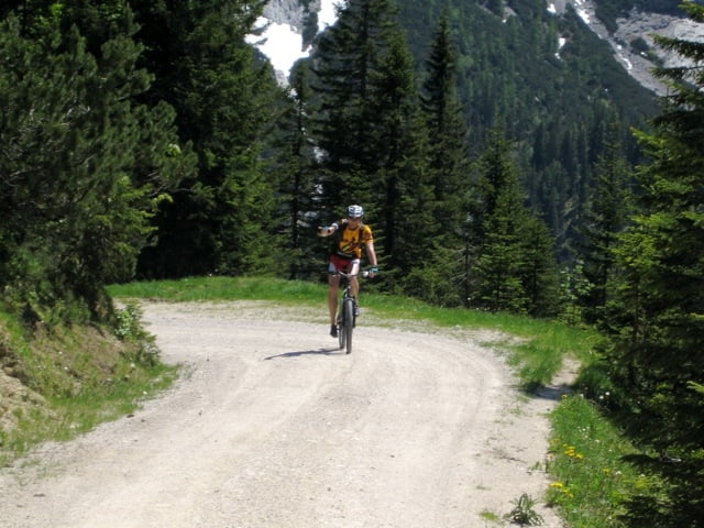
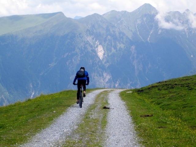
Du hast Lust auf eine lange, schnelle, sichere Abfahrt, 600 hm Cross, 300 hm Aspahlt und möchtest dabei eine flache, wenig anspruchsvolle Auffahrt? Dann ist der Stubnerkogel genau das Richtige. Anfahrt über die Passstraße ins Angertal, dann bei der Bahnstation weiter auf die blaue Skipiste (Ziehweg) 2 mal halb um den Berg herum bis zur Mittelstation. Wenn Du den Gipfel sehen willst, noch mal 400 hm weiter, ist jedoch auf- und abfahrtstechnisch anstrengender. Abfahrt = Auffahrt, nur etwas schneller. Ab und zu solltest Du trotzdem auf Gegenverkehr achten, ansonsten ist alles übersichtlich und ohne gefährliche Hindernisse. Viel Spaß!
Tour gallery
Tour map and elevation profile
Minimum height 844 m
Maximum height 1759 m
More about the tour author
|
|
Telebike |
Comments

Ins Gasteinertal, 2. Kreisel in Bad Hofgastein, rechts verlassen, auf dem Supermarkt-Parkplatz parken und los gehts ...
GPS tracks
Trackpoints-
GPX / Garmin Map Source (gpx) download
-
TCX / Garmin Training Center® (tcx) download
-
CRS / Garmin Training Center® (crs) download
-
Google Earth (kml) download
-
G7ToWin (g7t) download
-
TTQV (trk) download
-
Overlay (ovl) download
-
Fugawi (txt) download
-
Kompass (DAV) Track (tk) download
-
Track data sheet (pdf) download
-
Original file of the author (gpx) download
More about the tour author
|
|
Telebike |
Add to my favorites
Remove from my favorites
Edit tags
Open track
My score
Rate