


Einleitung
Die Etappe wurde gefahren am 12.07.2008 und ist Bestandteil eines Alpencrosses, der sich im wesentlichen an der Joe-Route orientiert hat.
Beschreibung der Etappe
Die Etappe beginnt im Standzentrum von Oberstdorf und führt Anfangs ohne wesentliche Steigungen ins Stillachtal. Vorbei an der Skiflugschanze geht es auf asphaltiertem Radweg in Rappenalptal.
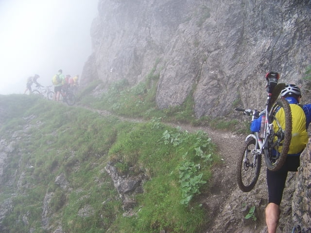
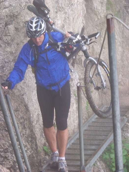
Die letzen Kilometer zum Schrofen Pass sind ausgesetzt. Man überquert eine Aluleiter, die direkt über den Abgrund führt.
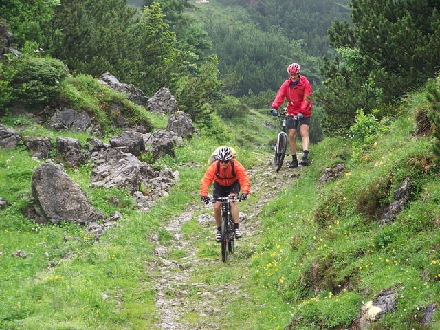
Über eine SIngletrail-Abfahrt geht es nach Warth. Von hier aus aus der Strasse Lech-Warth nach Lech. Von Lech geht es auf Strasse und Wanderweg bis zum Formarinsee und zur Freiburger Hütte. Vpn hier aus geht aus es Single Trail und Wanderweg hinunter nach Dalaas. Sehr empfehlenswerte Übernachtung im Hotel Post, Dalaas.
Tour gallery
Tour map and elevation profile
Minimum height 790 m
Maximum height 1913 m
More about the tour author
|
|
tloewenb |
Comments

GPS tracks
Trackpoints-
GPX / Garmin Map Source (gpx) download
-
TCX / Garmin Training Center® (tcx) download
-
CRS / Garmin Training Center® (crs) download
-
Google Earth (kml) download
-
G7ToWin (g7t) download
-
TTQV (trk) download
-
Overlay (ovl) download
-
Fugawi (txt) download
-
Kompass (DAV) Track (tk) download
-
Track data sheet (pdf) download
-
Original file of the author (gpx) download
More about the tour author
|
|
tloewenb |
Add to my favorites
Remove from my favorites
Edit tags
Open track
My score
Rate