
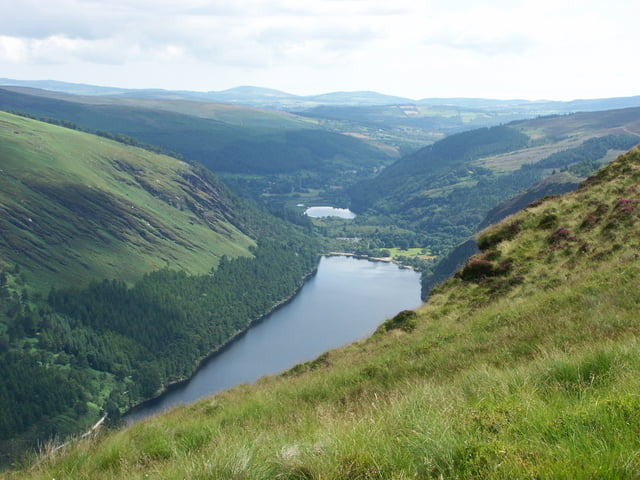

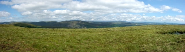
Ausgangspunkt ist der Parkplatz beim Besucherzentrum des Wicklow Mountains National Park. Die Wanderung geht durch ein Tal entlang dem Upper Lake, steigt langsam an. Es geht vorbei an Ruinen, Schafen, wilden Bergziegen und Hirschen. Über den Mullacor (ca. 650 m) und den Derrybown-Mountain (470 m) geht es zurück zum Parkplatz
Tour gallery

Tour map and elevation profile
Minimum height 140 m
Maximum height 663 m
More about the tour author

|
wrsgen |
Comments

Dublin nach Süden über die M11/N11. Danach auf die R755 nach Glendalough. Von Laragh auf die R756. Kurz nach Laragh links nach Glendalough. Danach bis zum Parkplatz am Upper Lake.
GPS tracks
Trackpoints-
GPX / Garmin Map Source (gpx) download
-
TCX / Garmin Training Center® (tcx) download
-
CRS / Garmin Training Center® (crs) download
-
Google Earth (kml) download
-
G7ToWin (g7t) download
-
TTQV (trk) download
-
Overlay (ovl) download
-
Fugawi (txt) download
-
Kompass (DAV) Track (tk) download
-
Track data sheet (pdf) download
-
Original file of the author (gpx) download
More about the tour author
|
|
wrsgen |
Add to my favorites
Remove from my favorites
Edit tags
Open track
My score
Rate