


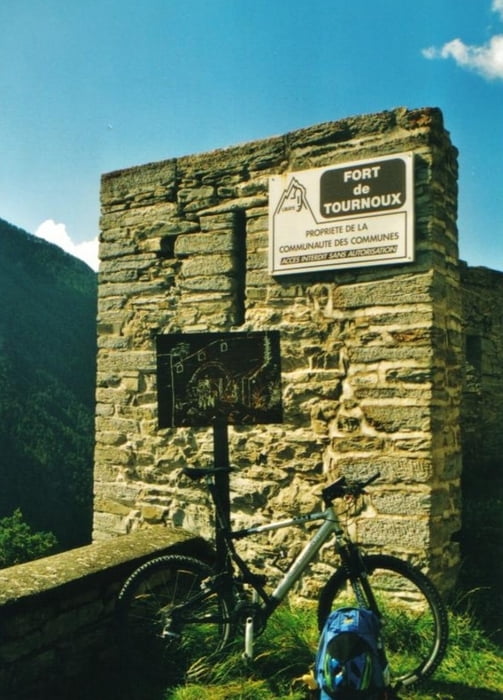
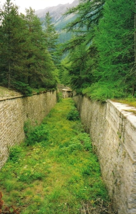
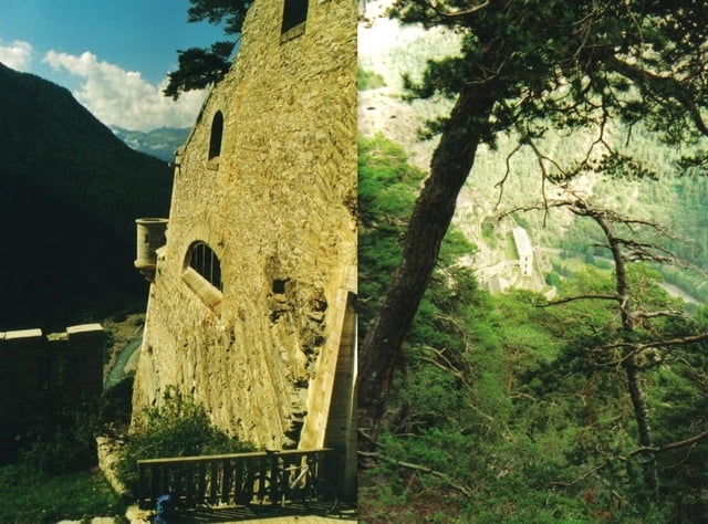
Start ist das kleine hotel in saint-paul-sur-ubaye. Wir fahren erstmal auf der D902 richtung süden bis zum abzweiger nach tournoux. Nachdem wir durch 2 serpentinen den kleinen ort passiert haben, geht's weiter richtung fort de tournoux (den abzweiger fort des corres lassen wir erstmal links liegen) und hier genißen wir den tiefblick über die ganze fort anlage. jetzt gehts zurück zum abzweiger und weiter zum fort des corres und dann trailen wir uphill mäßig bis zur batterie auf 2.008 m! zwischendurch können wir hierliche talblicke in ubaye-tal genießen. Oben angekommen wir erstmal die alte abwehranlage besichtigt und dann ist siesta in der sonne. Dann geht's downhill zurück am fort corre vorbei bis zum abzweiger fort tournoux, und wir biken weiter bis zum ort tournoux zurück und dann zur straße D902. und dann geht's zurück nach saint-paul-sur-ubaye!
Fazit! Schöne tour mit klasse Fort besichtigungen!
Fazit! Schöne tour mit klasse Fort besichtigungen!
Further information at
http://www.hegibiketours.deTour gallery

Tour map and elevation profile
Minimum height 1369 m
Maximum height 2008 m
More about the tour author
|
|
hegi |
Comments

Parken kann man in dem kleine Ort Saint-Paul!
GPS tracks
Trackpoints-
GPX / Garmin Map Source (gpx) download
-
TCX / Garmin Training Center® (tcx) download
-
CRS / Garmin Training Center® (crs) download
-
Google Earth (kml) download
-
G7ToWin (g7t) download
-
TTQV (trk) download
-
Overlay (ovl) download
-
Fugawi (txt) download
-
Kompass (DAV) Track (tk) download
-
Track data sheet (pdf) download
-
Original file of the author (gpx) download
More about the tour author
|
|
hegi |
Add to my favorites
Remove from my favorites
Edit tags
Open track
My score
Rate