


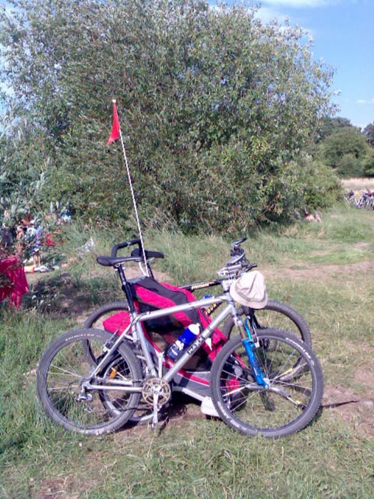
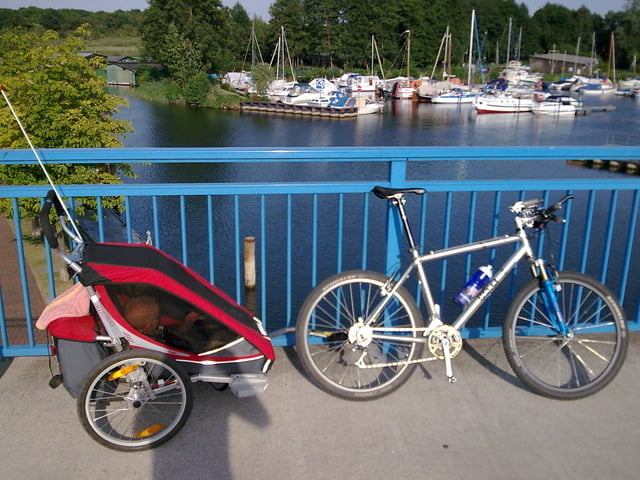
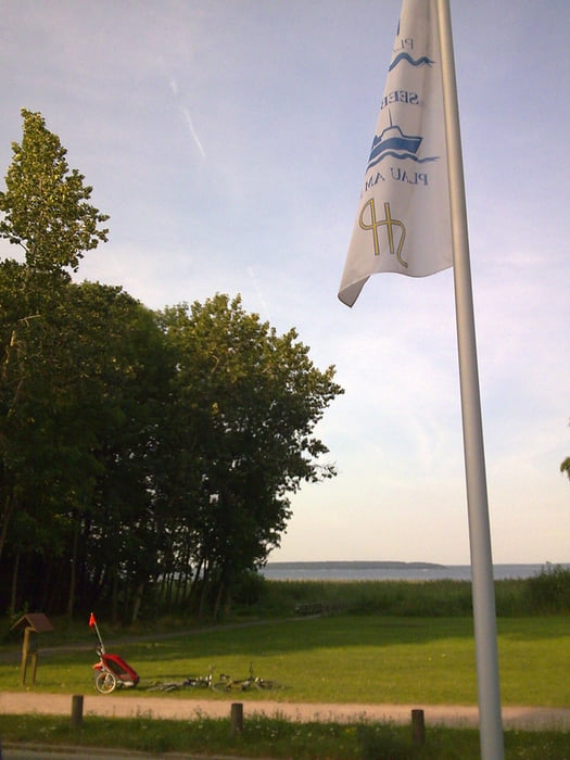
los gehts am strandhotel in plötzenhöhe. kurz richtung plau am hafen entlang und dann weiter nach quetzin. von quetzin gehts über den radweg an der B 103 bis zum karower meiler und dann rechts auf den radweg an der B 192 bis zum aussichtsturm moorochse. dort biegen wir links ab richtung glashütte und dann weiter bis mönchgut. hier gehts dann weiter nach alt schwerin und dann richtung schloss sparow. kurz vor sparow biegen wir links ab und fahren zum drewitzer see! klasse badestelle im klarsten see von mecklenburg! schöner sand und flach für kinder! auf dem gleichen weg gehts später zurück!
Further information at
http://www.hegibiketours.deTour gallery
Tour map and elevation profile
Minimum height 61 m
Maximum height 91 m
More about the tour author
|
|
hegi |
Comments

Aus Richtung Autobahn A 24 komment (Abfahrt Meyenburg)Dann Richtung Meyenburg und auf der B 103 Richtung Plau! Dort biegen wir ab Richtung Plau Plötzenhöhe und Parken am Strandhotel!
GPS tracks
Trackpoints-
GPX / Garmin Map Source (gpx) download
-
TCX / Garmin Training Center® (tcx) download
-
CRS / Garmin Training Center® (crs) download
-
Google Earth (kml) download
-
G7ToWin (g7t) download
-
TTQV (trk) download
-
Overlay (ovl) download
-
Fugawi (txt) download
-
Kompass (DAV) Track (tk) download
-
Track data sheet (pdf) download
-
Original file of the author (gpx) download
More about the tour author
|
|
hegi |
Add to my favorites
Remove from my favorites
Edit tags
Open track
My score
Rate