
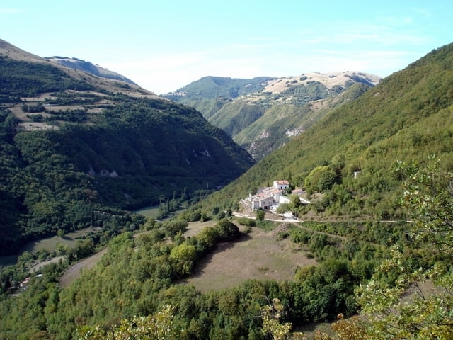

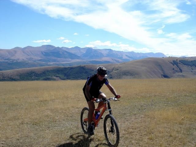
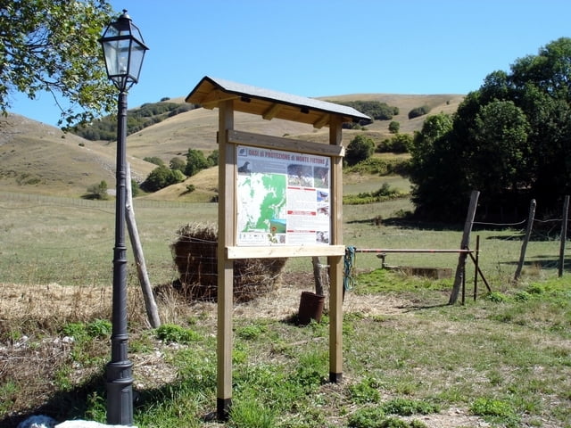
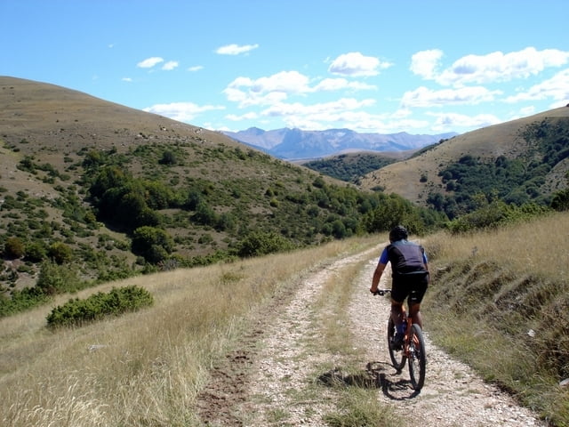
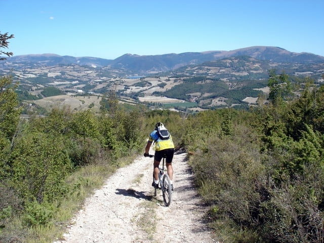
Non è un giro eccessivamente lungo ma necessita di preparazione tecnica ed allenamento per poter superare le sue difficoltà ed avere solo grande appagamento (c’è tutto ciò che un biker cerca!). Si lascia la strada asfaltata un po’ prima di Piè del Sasso di Montecavallo per Cesure da dove un lungo sentiero che sale nel bosco e sui pascoli ci fa arrivare alla cima del Monte Fietone (1391 metri). Da qui con una facile e panoramica discesa scendiamo velocemente fino all’abitato di Selvapiana da dove, seguendo la traccia, con una salita che precede un single track in discesa nel bosco, arriviamo a Giulo ed infine a Pievetorina da dove abbiamo iniziato questo bel giro.
Further information at
http://www.sibillini-mtb.itTour gallery
Tour map and elevation profile
Minimum height 411 m
Maximum height 1392 m
More about the tour author
|
|
barbonis |
Comments

http://maps.google.it/maps?ll=43.018942,13.000399&z=13&t=h&hl=it
GPS tracks
Trackpoints-
GPX / Garmin Map Source (gpx) download
-
TCX / Garmin Training Center® (tcx) download
-
CRS / Garmin Training Center® (crs) download
-
Google Earth (kml) download
-
G7ToWin (g7t) download
-
TTQV (trk) download
-
Overlay (ovl) download
-
Fugawi (txt) download
-
Kompass (DAV) Track (tk) download
-
Track data sheet (pdf) download
-
Original file of the author (gpx) download
More about the tour author
|
|
barbonis |
Add to my favorites
Remove from my favorites
Edit tags
Open track
My score
Rate