
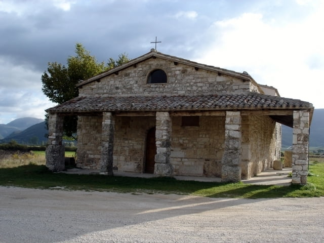

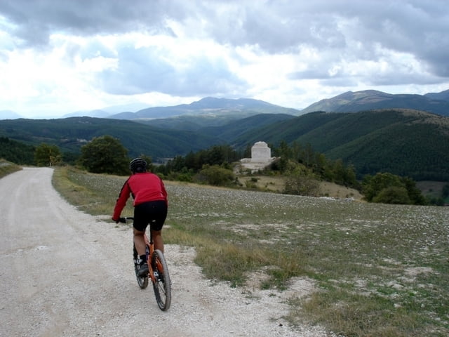
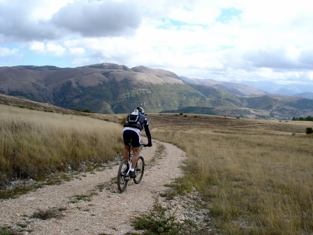
E’ una proposta di un giro, tra i tanti che se ne possono fare nella zona, che partendo da Taverne di Serravalle, ci fa raggiungere il piccolo nucleo di Roccafranca (ancora in pieno restauro) a picco sulla Valle di Percanestro. Nella stretta valle c’è scarso segnale gps e molta vegetazione e se si hanno dubbi sul percorso da seguire consigliamo, poco dopo l’inizio della salita, di girare a destra per Rasenna da dove si può di nuovo proseguire per Colfiorito e Taverne.
Further information at
http://www.sibillini-mtb.itTour gallery


Tour map and elevation profile
Minimum height 656 m
Maximum height 1131 m
More about the tour author
|
|
barbonis |
Comments

http://maps.google.it/maps?ll=42.975037,12.90935&z=12&t=h&hl=it
GPS tracks
Trackpoints-
GPX / Garmin Map Source (gpx) download
-
TCX / Garmin Training Center® (tcx) download
-
CRS / Garmin Training Center® (crs) download
-
Google Earth (kml) download
-
G7ToWin (g7t) download
-
TTQV (trk) download
-
Overlay (ovl) download
-
Fugawi (txt) download
-
Kompass (DAV) Track (tk) download
-
Track data sheet (pdf) download
-
Original file of the author (gpx) download
More about the tour author
|
|
barbonis |
Add to my favorites
Remove from my favorites
Edit tags
Open track
My score
Rate