


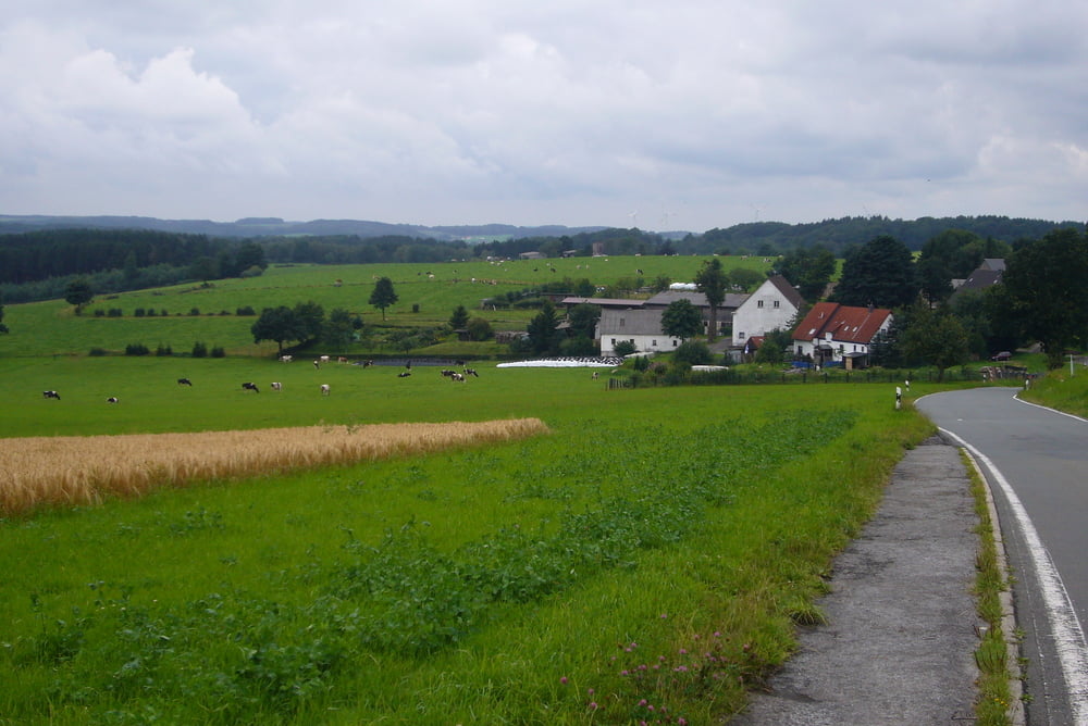
Start der Tour ist der Waldparkplatz bei der Gaststätte Diekmann in Dortmund-Syburg.
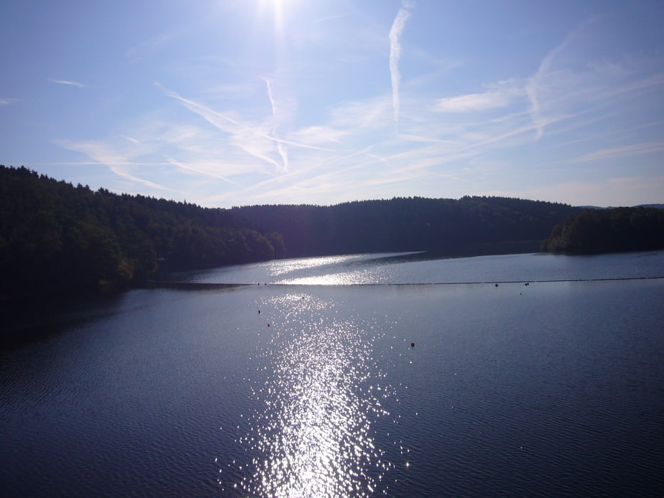
Ich bin die Tour gegen den Uhrzeigersinn gefahren. Es geht im Bogen nach Kirchende, weiter nach Wetter, dann über Albringhausen nach Gevelsberg, über die Ennepetalsperre nach Ehringhausen. Über Rölvede durch das Nahmertal nach Hohenlimburg, von dort auf der sehr steilen K24 nach Veserde, zurück zum Waldparkplatz geht es über Letmathe und Schwerte.
Die Tour besteht aus sieben steilen Anstiegen, es geht meistens über nicht sehr stark befahrene Nebenstrassen. Stärker befahren ist die L673 von Schwerte nach Westhofen.
Tour gallery


Tour map and elevation profile
Minimum height 84 m
Maximum height 424 m
More about the tour author
|
|
Pluto |
Comments

Von der Autobahn A1 kommend am Westhofener Kreutz auf die A45 in Richtung Dortmund, nächste Abfahrt Syburg in Richtung Syburg. An der B54 liegt der Waldparkplatz nach ca. 2km auf der linken Seite hinter der Gaststätte Diekmann.
GPS tracks
Trackpoints-
GPX / Garmin Map Source (gpx) download
-
TCX / Garmin Training Center® (tcx) download
-
CRS / Garmin Training Center® (crs) download
-
Google Earth (kml) download
-
G7ToWin (g7t) download
-
TTQV (trk) download
-
Overlay (ovl) download
-
Fugawi (txt) download
-
Kompass (DAV) Track (tk) download
-
Track data sheet (pdf) download
-
Original file of the author (gpx) download
More about the tour author
|
|
Pluto |
Add to my favorites
Remove from my favorites
Edit tags
Open track
My score
Rate