


Wir starten in Jenbach, wo wir den Rodelhüttenweg aufwärts Richtung Maurach am Achensee nehmen. Hier führt eine Asphalt als auch eine Schotterstrasse bis zur Rodelhütte. In Maurach fahren wir endlang des Achensees bis Achenkrich auf dem Panoramaweg. Weiter auf den Radweg bis nach Achenwald oder so wie ich auf der Land bzw. Bundesstrasse, da es für mich nur ein Zubringer ist. Am Gasthof Hagen geht die eigentliche Tour los.
Entlang des Forstweges auf die Rotwandhütte wo man eine kurze Rast einlegen kann. Abwärts Richtung Bächental. Oberhalb der Katzenschlagalm fängt geht ein Singletrail bergauf die nur die wenigsten fahren können. Also heißt es kurz schieben. ca. 100hm auf einem Wanderweg. Ab der Matschenalm gehts wieder auf dem Bike weiter über den Schleimssattel zur Pletzachalm und nach Pertisau.
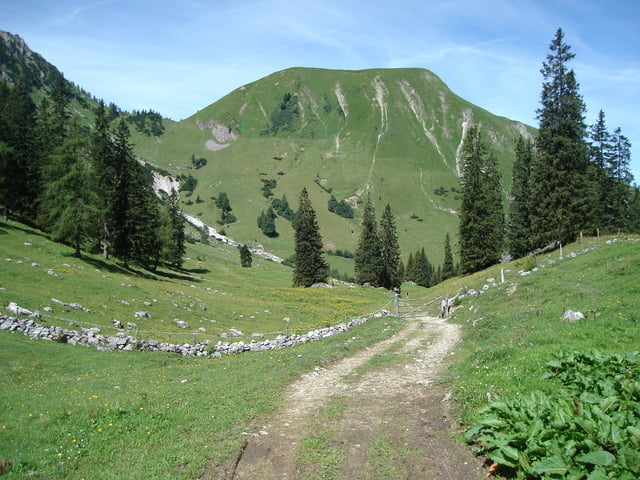
Tour gallery


Tour map and elevation profile
Minimum height 572 m
Maximum height 1557 m
More about the tour author

|
rabittom |
Comments

GPS tracks
Trackpoints-
GPX / Garmin Map Source (gpx) download
-
TCX / Garmin Training Center® (tcx) download
-
CRS / Garmin Training Center® (crs) download
-
Google Earth (kml) download
-
G7ToWin (g7t) download
-
TTQV (trk) download
-
Overlay (ovl) download
-
Fugawi (txt) download
-
Kompass (DAV) Track (tk) download
-
Track data sheet (pdf) download
-
Original file of the author (gpx) download
More about the tour author
|
|
rabittom |
Add to my favorites
Remove from my favorites
Edit tags
Open track
My score
Rate