


Die hier beschrieben Route ist eine kurze Tour für zwischendurch. Sie besteht aus einer
langegzogenen Steigung auf einer geschotterten Forststraße. Oben angekommen geht es über
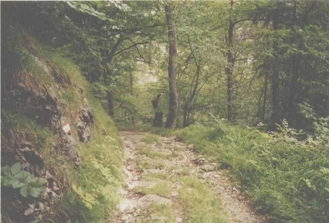
Schotter auf einer High Speed Strecke durch den Wald weiter. Bei der Buschenschank angekommen,
hat man einen schönen Blick auf Semriach und dahinter den Schöckl. Nach einer kleinen
Stärkung erwartet einen eine Wiesenabfahrt, ein Singletrail durch den Wald, eine Forststraße
und am Schluß das Zuckerl, eine selektiva Abfahrt auf einer alten Römerstraße mit Stufen, Geröll und Schotter.
langegzogenen Steigung auf einer geschotterten Forststraße. Oben angekommen geht es über
Schotter auf einer High Speed Strecke durch den Wald weiter. Bei der Buschenschank angekommen,
hat man einen schönen Blick auf Semriach und dahinter den Schöckl. Nach einer kleinen
Stärkung erwartet einen eine Wiesenabfahrt, ein Singletrail durch den Wald, eine Forststraße
und am Schluß das Zuckerl, eine selektiva Abfahrt auf einer alten Römerstraße mit Stufen, Geröll und Schotter.
Tour gallery
Tour map and elevation profile
Minimum height 398 m
Maximum height 784 m
More about the tour author

|
Comments

In Peggau am Parkplatz vom Spar
GPS tracks
Trackpoints-
GPX / Garmin Map Source (gpx) download
-
TCX / Garmin Training Center® (tcx) download
-
CRS / Garmin Training Center® (crs) download
-
Google Earth (kml) download
-
G7ToWin (g7t) download
-
TTQV (trk) download
-
Overlay (ovl) download
-
Fugawi (txt) download
-
Kompass (DAV) Track (tk) download
-
Track data sheet (pdf) download
-
Original file of the author (g7t) download
More about the tour author
|
|
Add to my favorites
Remove from my favorites
Edit tags
Open track
My score
Rate