
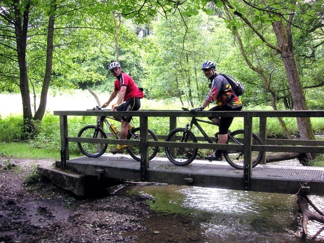

"ASPHALTRUNDE" wegen Starkregen vor der Tour wollten wir eine Asphaltrunde angehen. Udo unser Tourenguide führte uns zum Anfang auf relativ trockenem Untergund. Doch im Verlauf der Tour kamen doch einige Schlammpassagen, die uns einige Kraft abverlangten! Im Ganzen aber eine tolle Tour!
Tour map and elevation profile
Minimum height 59 m
Maximum height 212 m
More about the tour author
|
|
willibike |
Comments

Start: Leverkusen Schlebusch, nach fahrtechnischen Einlagen im Wuppermann - Park und an der Dhün führt die Runde über Glöbusch - Altenberg usw.( siehe Karte) nach Schlebusch zurück.
GPS tracks
Trackpoints-
GPX / Garmin Map Source (gpx) download
-
TCX / Garmin Training Center® (tcx) download
-
CRS / Garmin Training Center® (crs) download
-
Google Earth (kml) download
-
G7ToWin (g7t) download
-
TTQV (trk) download
-
Overlay (ovl) download
-
Fugawi (txt) download
-
Kompass (DAV) Track (tk) download
-
Track data sheet (pdf) download
-
Original file of the author (gpx) download
More about the tour author
|
|
willibike |
Add to my favorites
Remove from my favorites
Edit tags
Open track
My score
Rate