
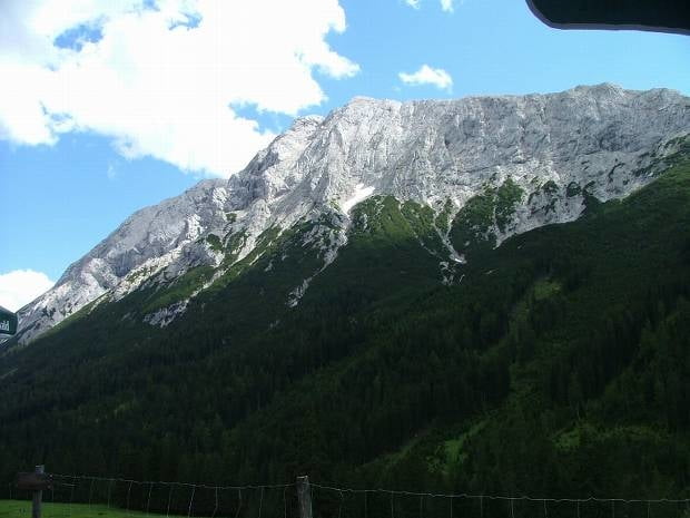

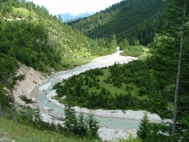
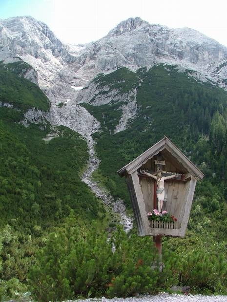
Vom Liftparkplatz (Moos) starten wir in Richtung Gaistal. Nachdem wir die Brücke überquert haben, fahren wir immer den Forstweg bis zur Gaistalalm entlang. Kurz nach der Brücke muss man ein etwas steileres (aber für normale Radfahrer leicht zu bewältigen) Stück überwinden - anschließend flach bis leicht ansteigender Weg - ideale Familientour mit traumhafter Landschaft.
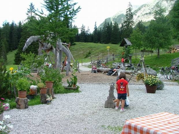
Tour gallery

Tour map and elevation profile
Minimum height 1157 m
Maximum height 1401 m
More about the tour author
|
|
Desert1 |
Comments

A12 (Inntalautobahn) - Ausfahrt Zirl / Kematen / Seefeld - über den Zirler Berg bis Seefeld - weiter über Möser, Bairach und Buchen bis Moos - wir parken auf einem Liftparkplatz, der jedoch außer Betrieb ist
Alternativ wäre die Anfahrt über Telfs.
GPS tracks
Trackpoints-
GPX / Garmin Map Source (gpx) download
-
TCX / Garmin Training Center® (tcx) download
-
CRS / Garmin Training Center® (crs) download
-
Google Earth (kml) download
-
G7ToWin (g7t) download
-
TTQV (trk) download
-
Overlay (ovl) download
-
Fugawi (txt) download
-
Kompass (DAV) Track (tk) download
-
Track data sheet (pdf) download
-
Original file of the author (gpx) download
More about the tour author
|
|
Desert1 |
Add to my favorites
Remove from my favorites
Edit tags
Open track
My score
Rate