
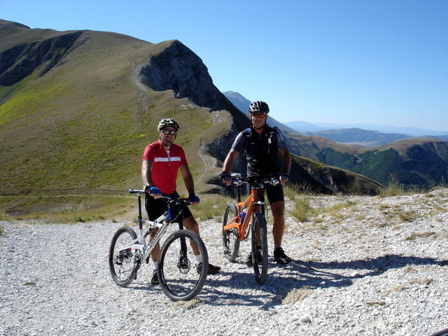

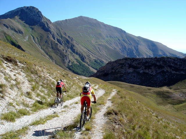
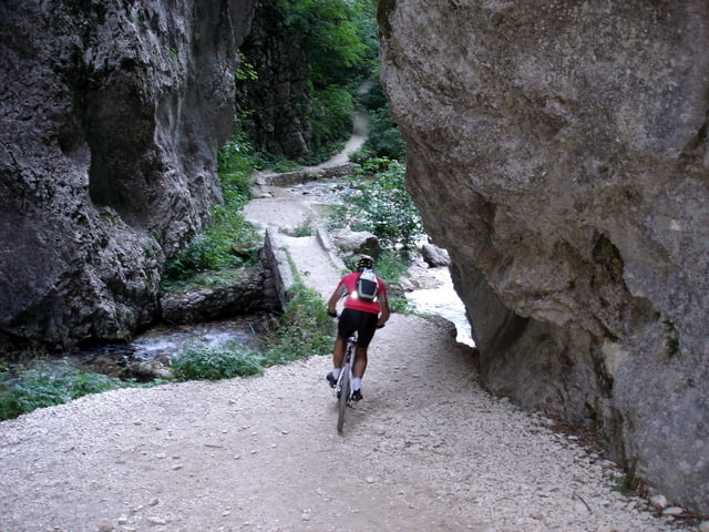
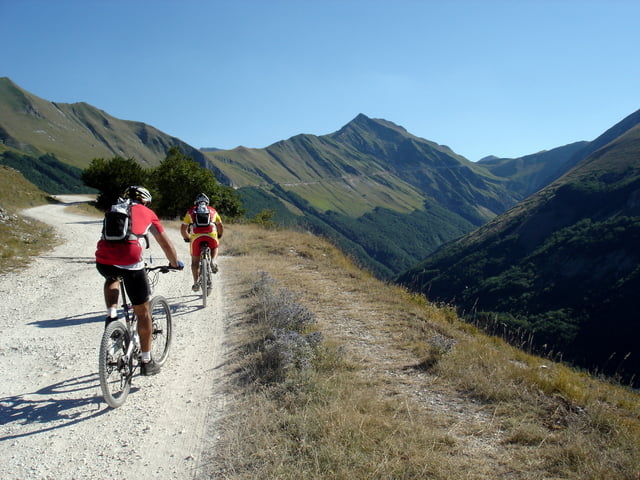
E’ un giro tra i più lunghi e faticosi ma anche fra i più belli dei Sibillini. Si parte (presto) da Ussita da dove si sale in circa due ore al Passo Cattivo. Da qui inizia la lunga discesa lungo la valle di Tenna fino alle gole dell’Infernaccio ed alla suggestiva strettoia delle Pisciarelle. Arrivati a Rubbiano si gira a sinistra per percorrere (molto faticosamente) la tappa n° 5 del GAS (Grande Anello dei Sibillini) fino a Garulla (in alternativa si può optare per la variante che abbiamo aggiunto, molto più facile e veloce). Da Garulla si sale alla Pintura di Bolognola dove è quasi obbligatorio fermarsi per rifocillarsi dopo le tante ore che sicuramente sono trascorse dalla partenza. In un’ora si raggiunge poi il Fargno da dove, passando per Casali e Tempori, ritorniamo ad Ussita.
Further information at
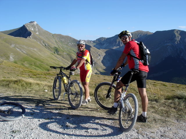
http://www.sibillini-mtb.itTour gallery
Tour map and elevation profile
Minimum height 458 m
Maximum height 1874 m
More about the tour author
|
|
barbonis |
Comments

http://maps.google.it/maps?ll=42.946672,13.226112&z=11&t=h&hl=it
GPS tracks
Trackpoints-
GPX / Garmin Map Source (gpx) download
-
TCX / Garmin Training Center® (tcx) download
-
CRS / Garmin Training Center® (crs) download
-
Google Earth (kml) download
-
G7ToWin (g7t) download
-
TTQV (trk) download
-
Overlay (ovl) download
-
Fugawi (txt) download
-
Kompass (DAV) Track (tk) download
-
Track data sheet (pdf) download
-
Original file of the author (gpx) download
More about the tour author
|
|
barbonis |
Add to my favorites
Remove from my favorites
Edit tags
Open track
My score
Rate