


Einfache Familientour weitgehend auf gut fahrbaren Nebenwegen von Sorico über Colico zur Abbazia Di Piona.
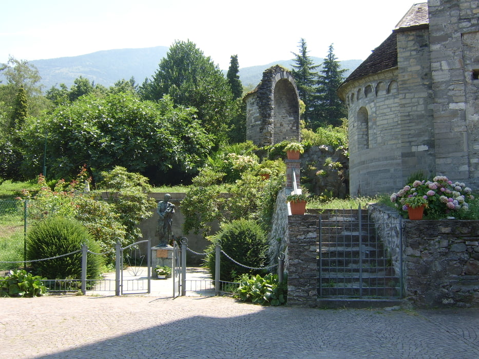
-> http://commons.wikimedia.org/wiki/Abbazia_di_Piona
http://www.cistercensi.info/piona/
Im Sommer kann man die Strecke Domaso - Abbazia Di Piona per Schiff erledigen.
Man muß ca. 2km auf der Uferstraße fahren und 2x kurz die Hauptstr. über Brücken benutzen.
Beim zurück ist nach der Abbazia Di Piona in Olgiascia eine Treppenabfahrt, einfach auf der Auffahrt umfahren. Als Wanderung in Olgiascia parken und alternativ auf dem Höhenzug der Landzunge zur Abbazia Di Piona wandern. Unterwegs gibt es einige schöne Strände.
Further information at
http://www.casarina.comTour gallery
Tour map and elevation profile
Minimum height 197 m
Maximum height 312 m
More about the tour author
|
|
skyhopper |
Comments

Sorico liegt auf der Strecke Chiavenna Lugano. Nach der Mera ca. 2km nach der Tankstelle in Sorico parken.
GPS tracks
Trackpoints-
GPX / Garmin Map Source (gpx) download
-
TCX / Garmin Training Center® (tcx) download
-
CRS / Garmin Training Center® (crs) download
-
Google Earth (kml) download
-
G7ToWin (g7t) download
-
TTQV (trk) download
-
Overlay (ovl) download
-
Fugawi (txt) download
-
Kompass (DAV) Track (tk) download
-
Track data sheet (pdf) download
-
Original file of the author (gpx) download
More about the tour author
|
|
skyhopper |
Add to my favorites
Remove from my favorites
Edit tags
Open track
My score
Rate