


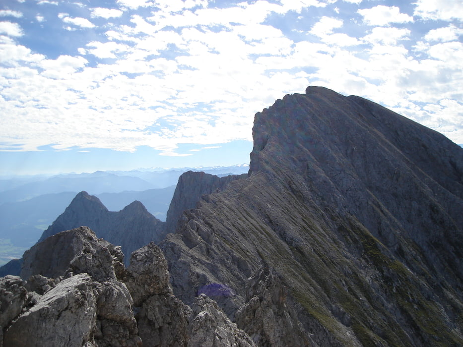
Ausgangspunkt der Tour ist die Karwendelrast am Vomperberg. Hier geht es zum Eingwöhnen die ersten 10 bis 20 min sehr gemtlich der Froststrasse entland. Dann geht es relativ schnell ins Eingemachte. Der Anstieg auf die Hochnissl ist teilweise recht steil wenn auch gleichbleibend. Das Panorama am Grad ist ein Wahnsinn. Die Wände Richtung Lamsenjochhütte fallen sehr steil ab. Die Kletterhilfen und Seile wurden heuer (2008) erneuert und sind in einem sehr guten Zustand. Die Gratwanderung von der Hochnissl zum Lamsenjoch ist meiner Meinung nach für einen versierten Wander kein Problem wenn er trittsicher ist.
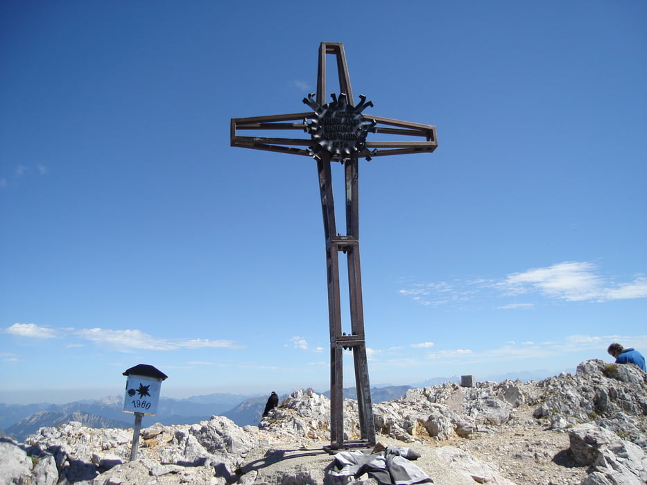
Der Aufstieg auf das Lamsenjoch ist auch sehr schön und der Klettersteig ist auch hier erneuert worden. Die Aussicht war beeindruckend. Abstieg auf die Lamsenjochhütte zur Stallnalm, Bärrast und wieder zurück zum Ausgangspunkt
Tour gallery
Tour map and elevation profile
Minimum height 643 m
Maximum height 2550 m
More about the tour author

|
rabittom |
Comments

GPS tracks
Trackpoints-
GPX / Garmin Map Source (gpx) download
-
TCX / Garmin Training Center® (tcx) download
-
CRS / Garmin Training Center® (crs) download
-
Google Earth (kml) download
-
G7ToWin (g7t) download
-
TTQV (trk) download
-
Overlay (ovl) download
-
Fugawi (txt) download
-
Kompass (DAV) Track (tk) download
-
Track data sheet (pdf) download
-
Original file of the author (gpx) download
More about the tour author
|
|
rabittom |
Add to my favorites
Remove from my favorites
Edit tags
Open track
My score
Rate